
Coastal trails
Top 10 Cliff Walks in Ireland
Ten memorable coastal walks ranging from accessible headland loops to serious exposed routes. This selection balances scenery, variety and geographic spread across the island.
Explore the top 10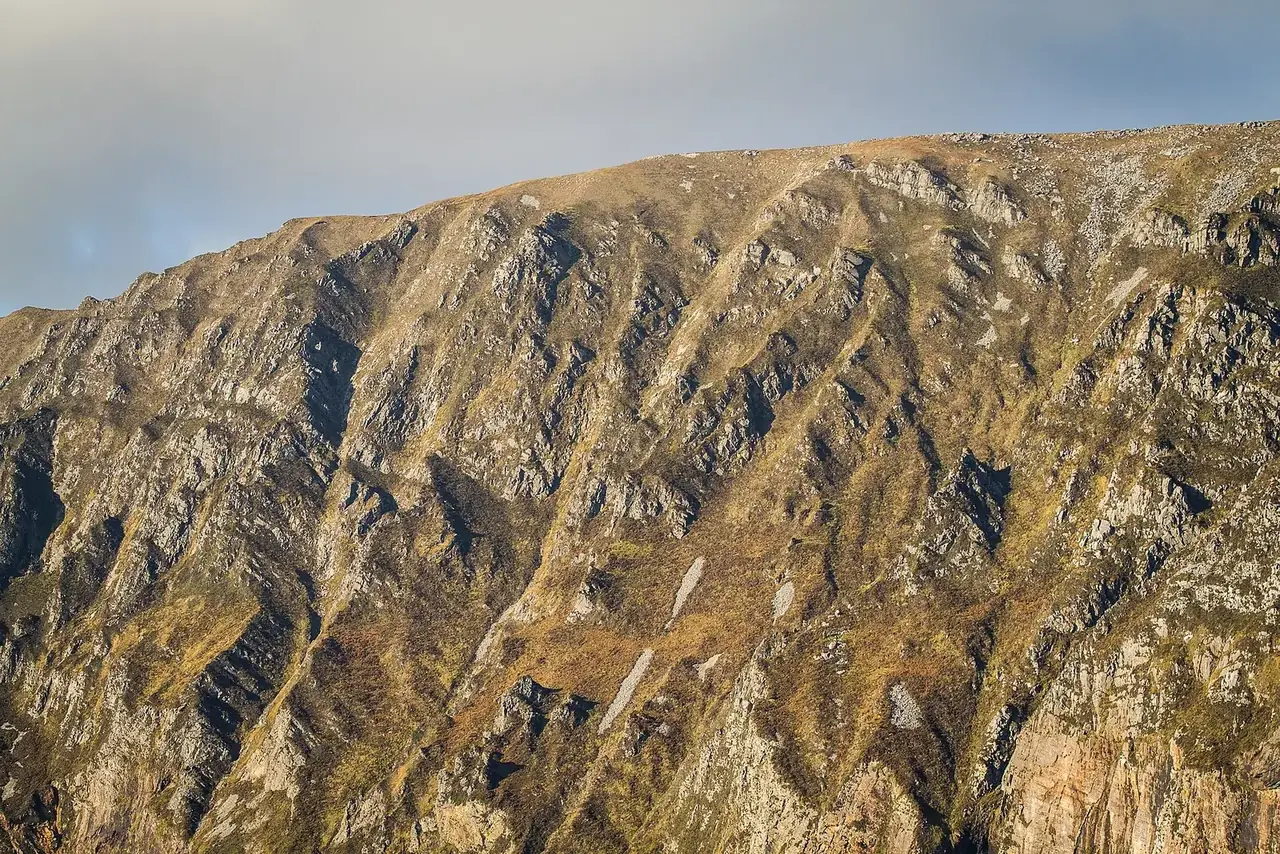
1. Slieve League cliff trails
Among Ireland’s most dramatic sea-cliff landscapes, with viewpoints and walking options for different abilities. Choose the signed route that matches your experience and avoid exposed ground in poor visibility.
Plan it: Choose the Bunglas viewpoints or a separately planned upland hike. The Pilgrim Path is a different route; it is not a casual extension of the viewing-area visit.
- Route choice
- Viewpoints or mountain hike
Access & map notes
Confirm current access and shuttle arrangements with the visitor centre. No downloadable map for this exact viewpoint outing was verified.
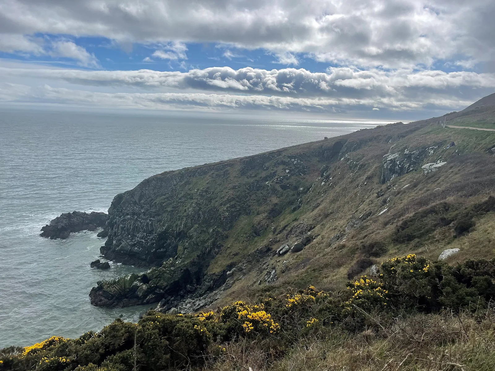
2. Howth Cliff Path Loop
Choose the green Cliff Path Loop if you want a defined walk from Howth Railway Station. Several routes share parts of the peninsula, so match the waymark colour and full distance to the outing you intended.
Plan it: The green-arrow loop starts and finishes at Howth Railway Station and climbs towards the Summit.
- Distance
- 7.8 km loop
- Time
- 2 hours
- Grade
- Moderate
- Waymarks
- Green arrows
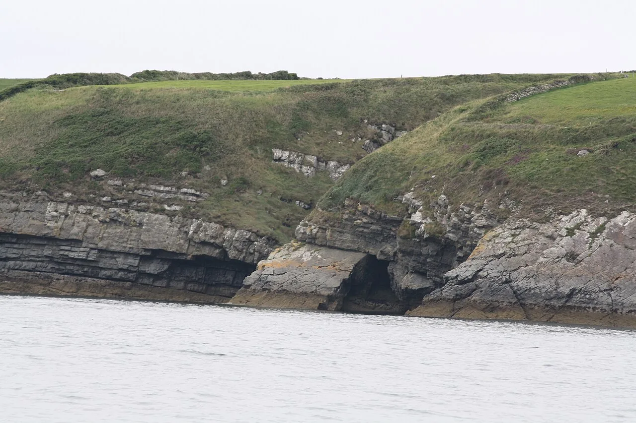
3. Kilkee Cliff Walk
Kilkee’s West End gives access to Atlantic cliff scenery without making every visitor commit to the longest circuit. Decide on the exact route and return plan before leaving the town.
Plan it: Start at the West End near Diamond Rocks Café. The published shorter cliff outing and longer loop are different commitments.
- Options
- 5 km outing / 8 km loop
Access & map notes
No official downloadable map for the exact route was verified; confirm the chosen circuit locally.
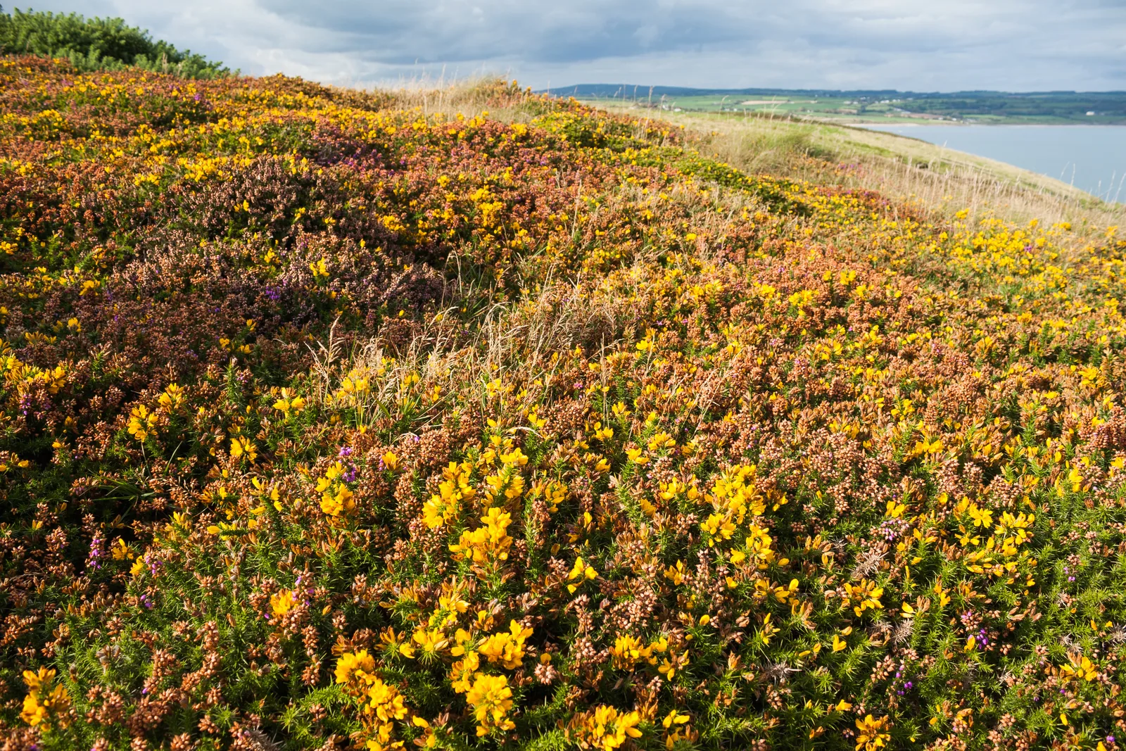
4. Ardmore Cliff Walk
Ardmore combines a coastal circuit with the heritage of the village. Choose the registered cliff walk for a defined route, then leave separate time for the village rather than extending the outing along unverified paths.
Plan it: A waymarked circuit from the seafront car park, combining coastal paths with village heritage.
- Distance
- 3.9 km loop
- Time
- 1 hour
- Grade
- Easy
- Waymarks
- Yellow arrows
Access & map notes
The permissive route closes for one day on the third Thursday of December each year.
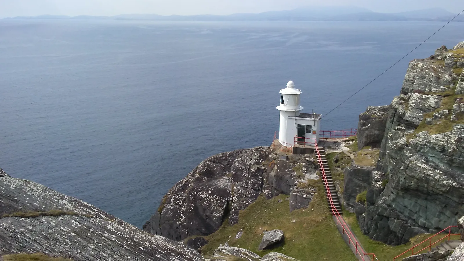
5. Sheep’s Head Lighthouse Loop
The Sheep’s Head Lighthouse Loop is short in distance but rugged in character. Choose it for a prepared walking outing at the end of the peninsula, rather than treating the lighthouse as a simple roadside stop.
Plan it: Start at Tooreen Point car park and follow the blue loop markers. The yellow Sheep’s Head Way does not complete the same return loop.
- Distance
- 3.7 km loop
- Time
- 2 hours
- Grade
- Strenuous
- Dogs
- Not permitted
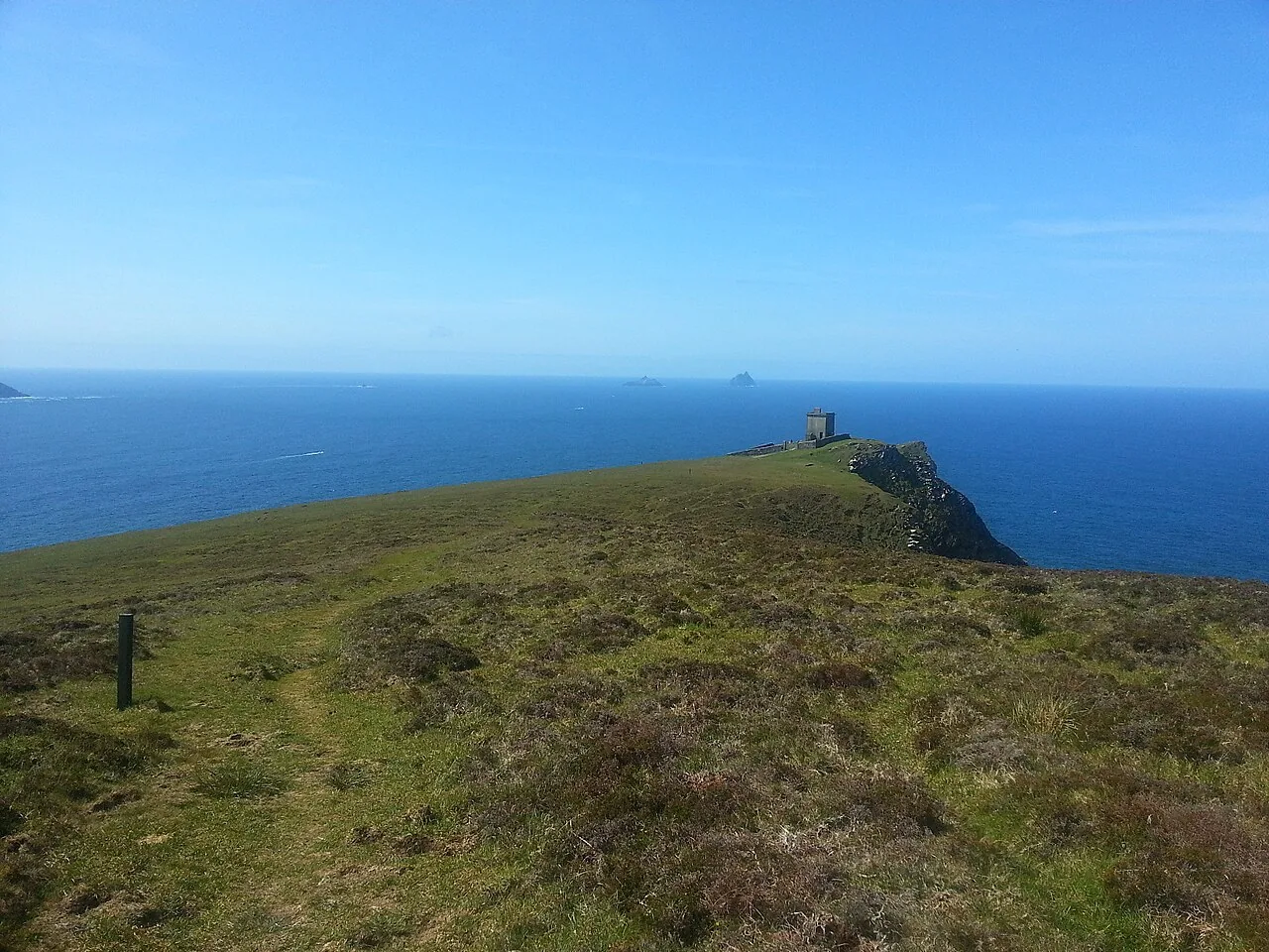
6. Bray Head, Valentia Island
Bray Head on Valentia Island is reached by a climbing access track towards the signal tower. Use the current registered out-and-back route for planning; the older “loop” name remains in this page’s address.
Plan it: Follow the recognised access track towards the signal tower and return the same way.
- Distance
- 2 km there and back
- Grade
- Moderate
- Ascent
- 114 m
- Dogs
- Not permitted
Access & map notes
Use the current registered out-and-back route; older descriptions may refer to a loop.
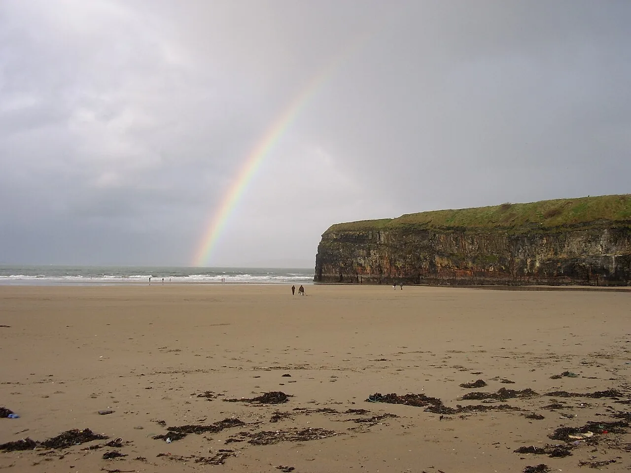
7. Ballybunion Cliff Path
Ballybunion’s cliff path suits a short coastal outing based in the town. It is a different proposition from a long beach walk or a round at the nearby golf club, so choose the route before using a time estimate.
Plan it: A short coastal path from the north side of Ballybunion Beach, marked with white arrows on green.
- Time
- About 30 minutes
- Grade
- Easy
- Dogs
- On a lead
Access & map notes
Published distances differ: the map gives 1.5 km and the register 1 km. Check the current trailhead signs.
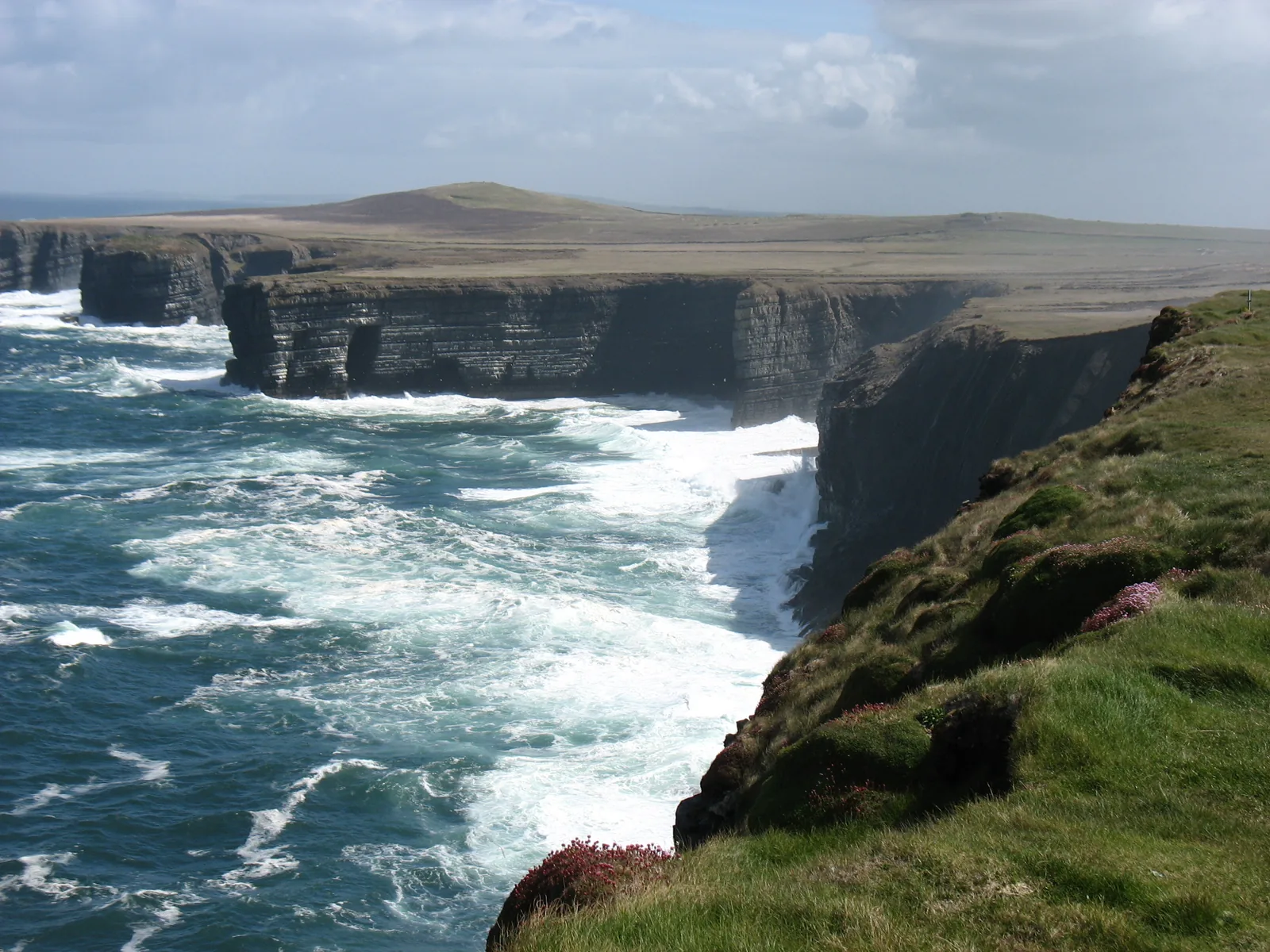
8. Loop Head cliff landscape
Remote headland walking around Loop Head rewards careful visitors with broad Atlantic views, seabirds and a striking lighthouse setting. Follow local access signs.
Plan it: Treat a headland visit and a longer coastal walk as separate plans. Use local visitor advice to confirm the permitted route and return point.
- Setting
- Exposed Atlantic headland
Access & map notes
No official downloadable route map for this exact outing was verified.
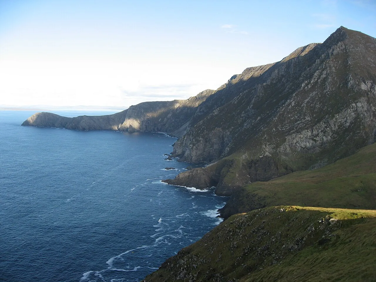
9. Croaghaun, Achill Island
Croaghaun belongs in a mountain-day plan. Its sea-cliff setting does not make it a short, signed coastal stroll, and inclusion in a cliff-walk collection should not be read as a recommendation for every visitor.
Plan it: Croaghaun is an open-mountain outing, distinct from Achill’s signed lower-level loops. Choose a local guide if the terrain or navigation exceeds your experience.
- Terrain
- Open mountain and sea cliffs
Access & map notes
Carry appropriate topographic mapping. No official downloadable summit-route map was verified.
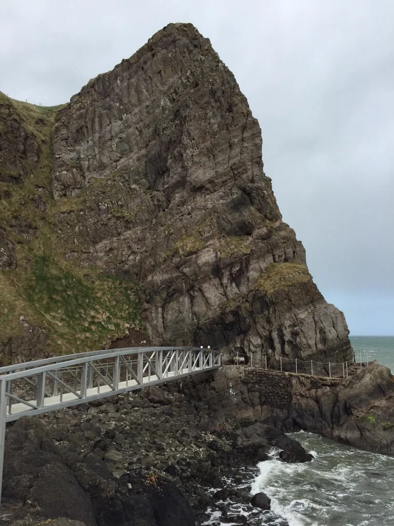
10. The Gobbins Cliff Path
The Gobbins is an operator-led cliff-path experience at Islandmagee, using narrow paths, bridges, tunnels and many steps. Its suitability rules are part of choosing the visit, rather than details to discover at check-in.
Plan it: Book the operator-led cliff-face experience and check its footwear, fitness and access requirements before travelling.
- Visit
- Guided tour
- Check-in
- 15 minutes before your tour
Access & map notes
This is not a self-guided trail. Use the operator’s current tour instructions rather than a generic walking map.
Keep exploring
More things to do.
Use another collection to add complementary stops to your journey.