
Ten mountain areas to explore
Mountain Ranges & Climbs in Ireland
Explore ten well-known Irish mountain areas, from the Reeks and Mournes to the Galtees and Blackstairs. Compare signature climbs, signed hill trails and lower-level alternatives, then open each guide for access advice and local sources. This is an editorial selection, not a popularity ranking.
Explore the top 10Choose the right outing
A mountain view or a summit day?
Start with a signed lower trail if you are new to hillwalking. Steep summits, exposed ridges and unmarked uplands call for fitness, navigation skills and a suitable forecast. The notes below describe the suggested outing, not a grade for the entire range.
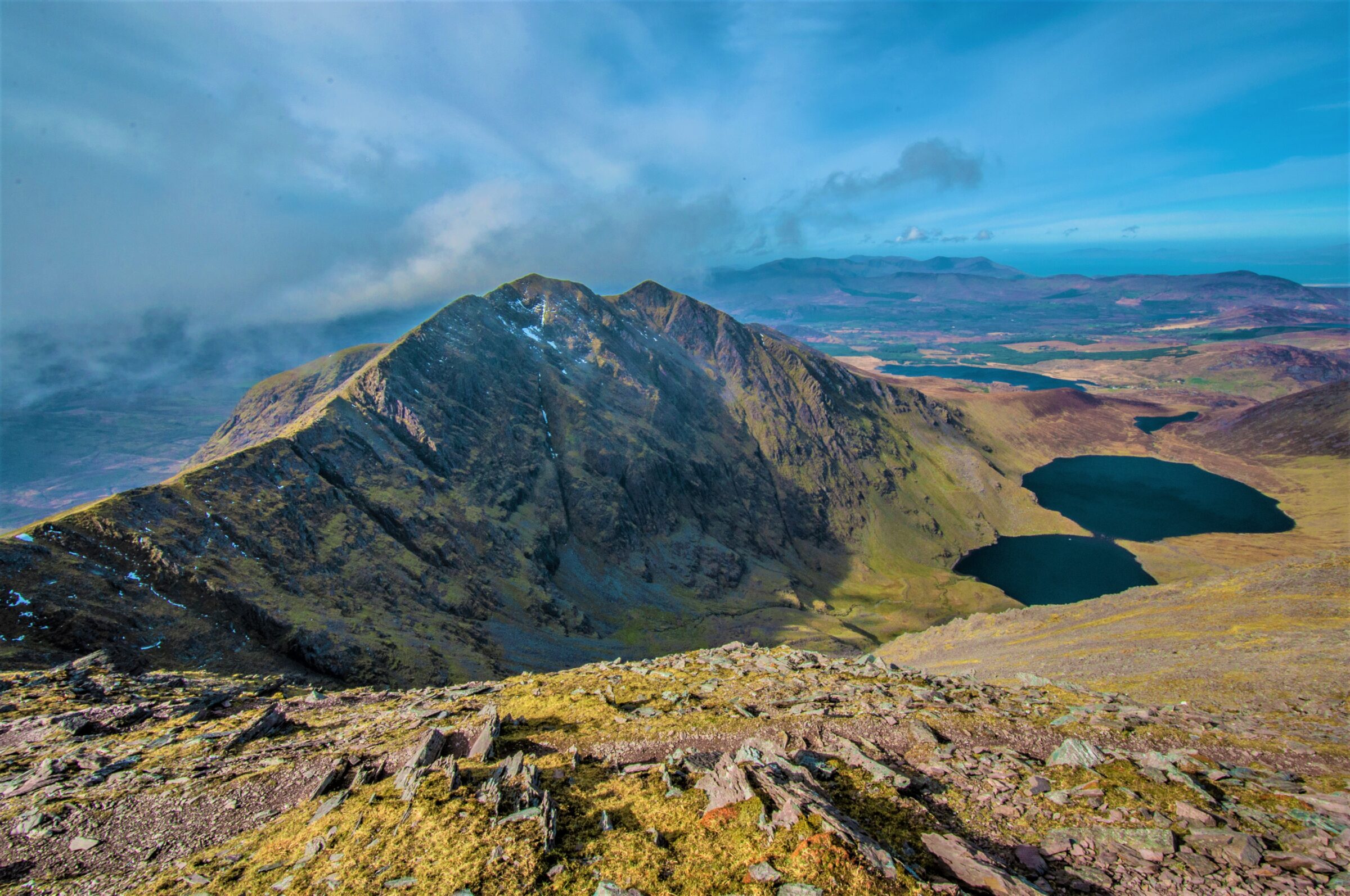
1. MacGillycuddy’s Reeks
Ireland’s highest mountain range, with Carrauntoohil as its best-known challenge. This is serious mountain terrain, with steep slopes, exposed ground and access across working farmland.
Plan it: Carrauntoohil with a qualified local guide — Demanding mountain day
- Terrain
- Demanding open mountain
- Dogs
- Not permitted
Access & map notes
No official free summit-route map was verified. The leaflet is safety advice; use appropriate topographic mapping and current access guidance.
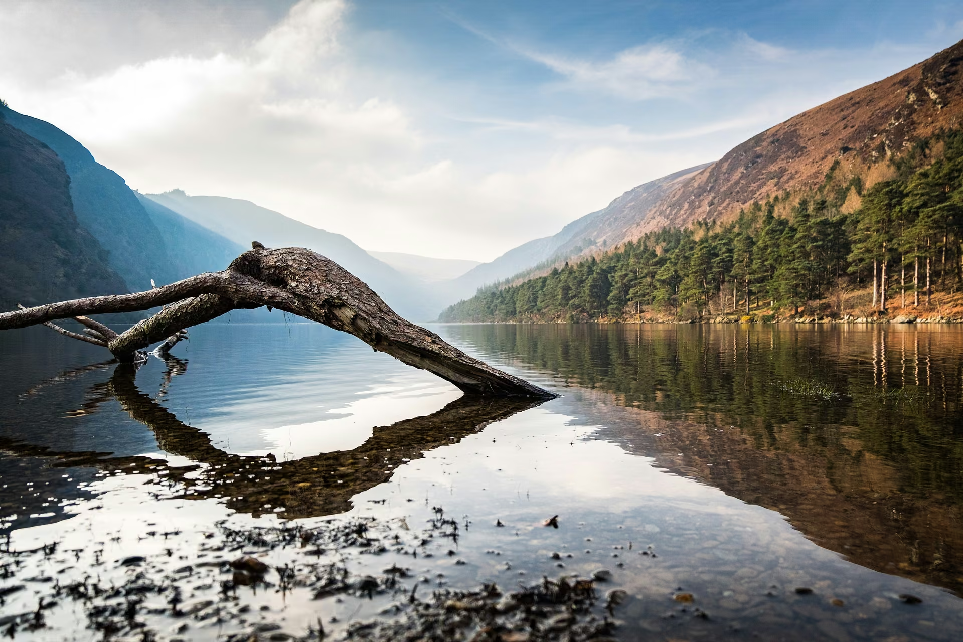
2. Wicklow Mountains
A broad upland landscape of glacial valleys, lakes and open summits. Glendalough offers signed mountain trails, while Lugnaquilla requires independent navigation and careful access planning.
Plan it: Spinc and Glenealo Valley; Lugnaquilla for experienced hikers — Strenuous trails; remote summits are more demanding
- White Route
- 9.5 km loop
- Time
- 3 hr 15 min
- Grade
- Strenuous
Access & map notes
The downloadable leaflet is older than some current diversions. Follow the park’s latest route directions and closures. It does not map a Lugnaquilla summit route.
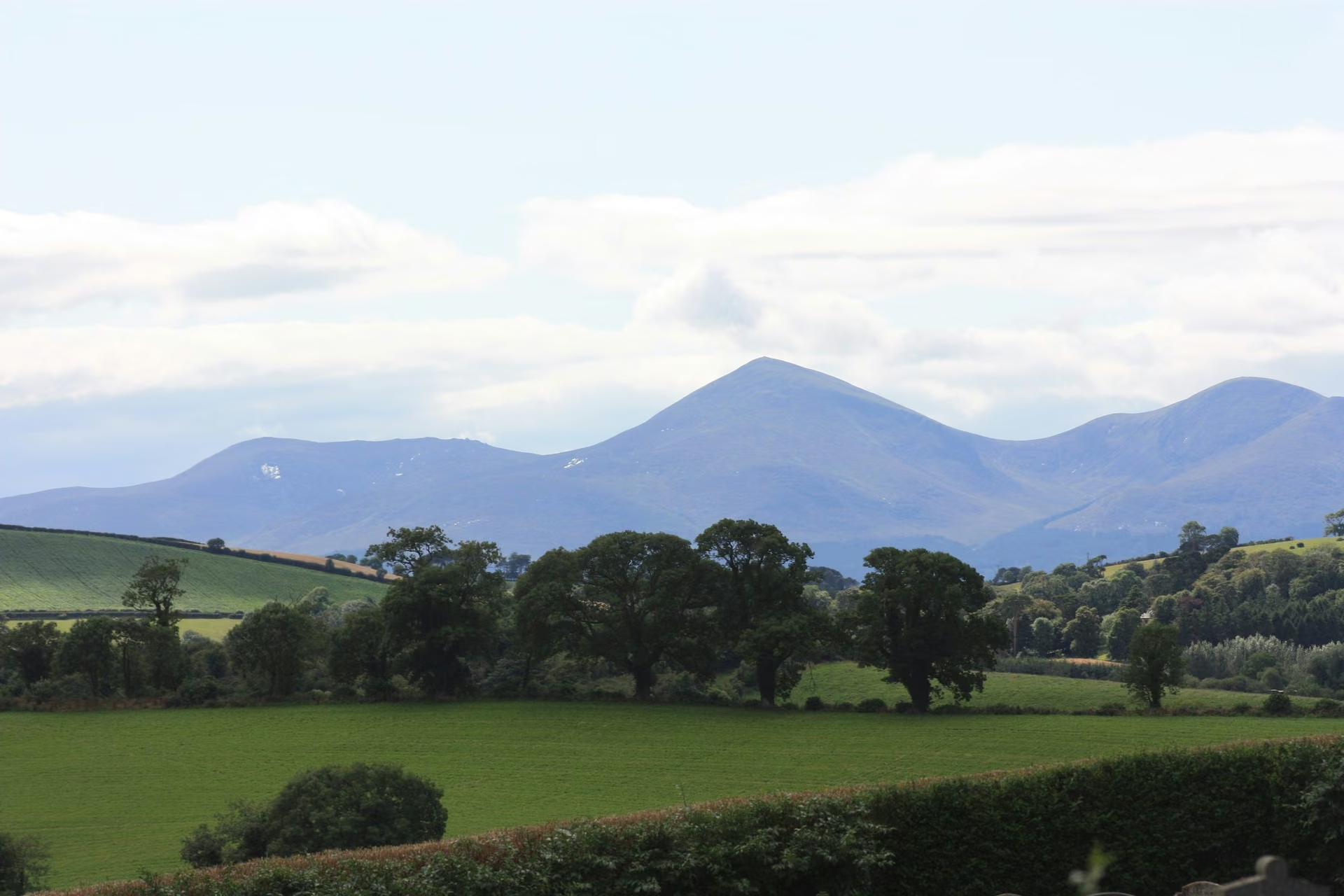
3. Mourne Mountains
Granite summits, reservoirs and the Mourne Wall make County Down a classic mountain destination. Slieve Donard is the headline climb, rising above Newcastle and the coast.
Plan it: Slieve Donard via Glen River — Demanding summit hike
- Grade
- Very strenuous
- Format
- Linear; allow for the return
- Recommended map
- OSNI Sheet 29

4. Galtee Mountains
Ireland’s highest inland mountain range combines Galtymore’s open summit country with corrie lakes, forest walks and the Glen of Aherlow. Choose the mountain day or a lower-level outing to suit your skills.
Plan it: Galtymore with an experienced leader or local guide — Demanding open mountain terrain
- Terrain
- Open mountains and forest foothills
- Maps
- Available from the local tourist office
Access & map notes
No free official downloadable Galtymore summit-route map was verified. Ask for the map matching your chosen outing.
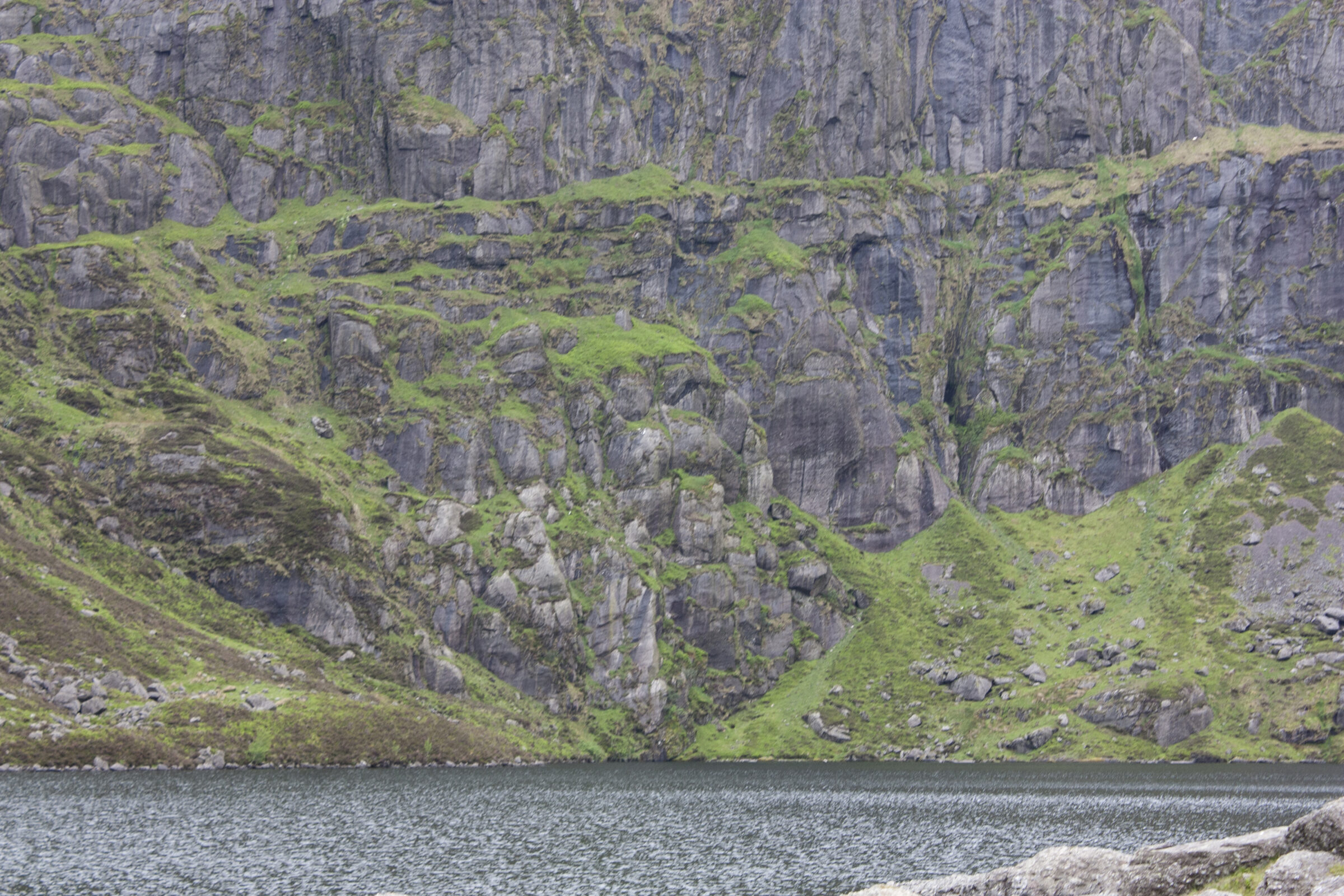
5. Comeragh Mountains
A Waterford range known for glacial coums, lakes and waterfalls. The Coumshingaun circuit is a serious mountain outing; Mahon Falls offers a much shorter introduction to the landscape.
Plan it: Coumshingaun circuit for experienced mountain walkers — Challenging, steep and exposed
- High circuit
- About 4–5 hours · Challenging
- Alternative
- Mahon Falls · 30–45 minutes
Access & map notes
No official downloadable high-circuit route map was verified. Use appropriate mountain mapping and experienced route advice.
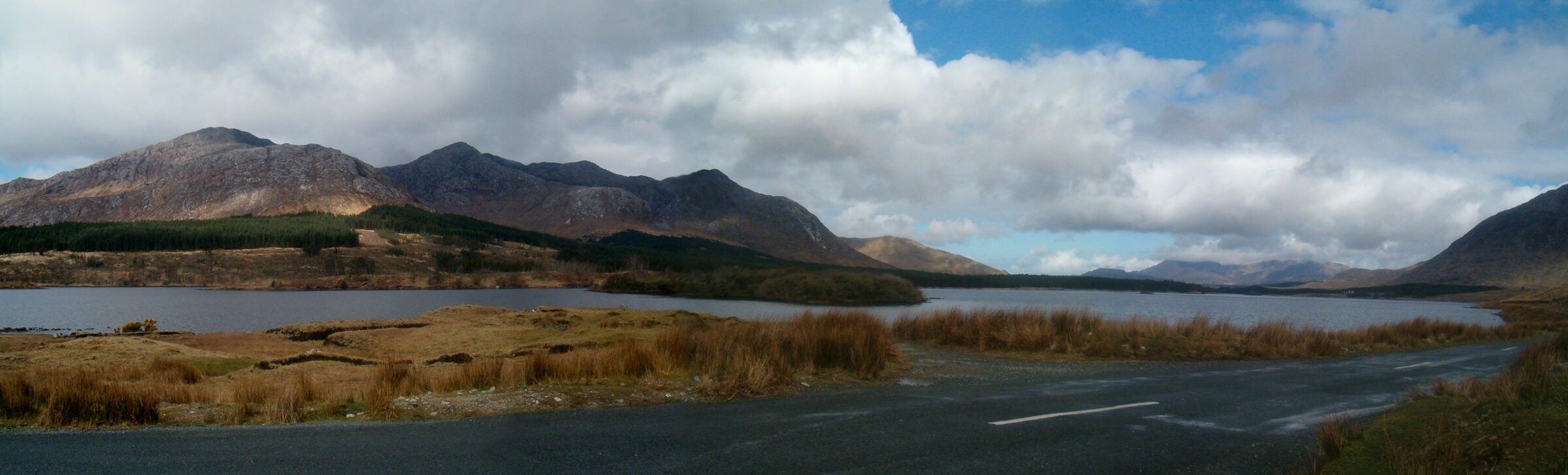
6. Twelve Bens & Connemara
Quartzite peaks and Atlantic views define this Connemara mountain area. Diamond Hill is the signed national-park introduction; the wider Twelve Bens are much more demanding and largely unwaymarked.
Plan it: Diamond Hill’s signed trails; the Twelve Bens with mountain experience — Lower Diamond: Moderate; Upper Diamond: Strenuous
- Lower circuit
- 3 km · Moderate
- Upper circuit
- 3.7 km · Strenuous
Access & map notes
The upper circuit is reached via the lower trail. Check the map for your complete outing; this is not a Twelve Bens traverse map.

7. Derryveagh Mountains & Errigal
Errigal’s quartzite cone is the best-known landmark of Donegal’s Derryveagh mountains. The constructed path helps protect the hillside, but the sustained climb and exposed summit still require care.
Plan it: Errigal via the constructed path from the R251 — Steep mountain climb
- Distance
- 5.2 km
- Time
- 2–3 hours
- Recommended map
- OSI Sheet 1
Access & map notes
The community page provides an online map; no downloadable official route map was verified.
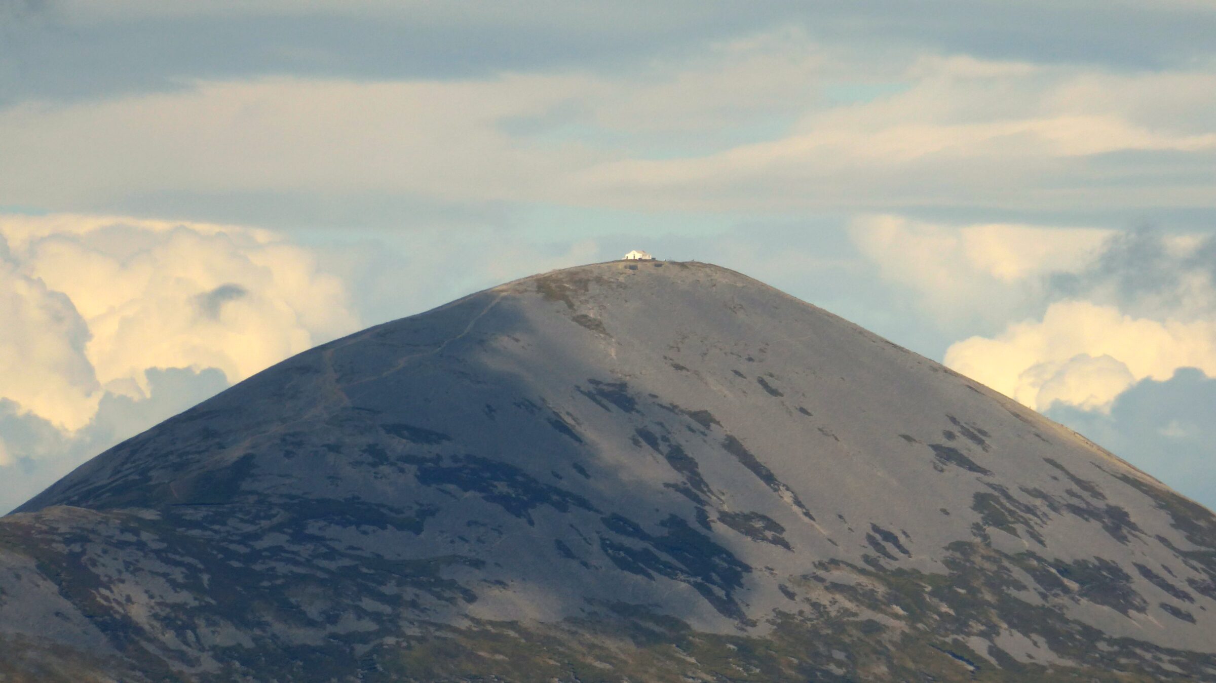
8. Croagh Patrick
A standalone pilgrimage mountain rather than a large range. Its climb from Murrisk is one of Ireland’s best-known mountain outings, with views across Clew Bay in clear weather.
Plan it: The restored Pilgrim Path from Murrisk — Strenuous sustained ascent and descent
- Route
- Sustained mountain ascent
- Base
- Murrisk
Access & map notes
No downloadable official summit-route map was verified. Carry suitable topographic mapping; the lower Murrisk loop is a different outing.

9. Blackstairs Mountains
An upland border between Carlow and Wexford, with Mount Leinster as its best-known summit. The Nine Stones viewpoint and foothill walks offer alternatives to a longer mountain day.
Plan it: Mount Leinster from the Nine Stones area, with current local route advice — Steep upland walking; longer ridge routes are more demanding
- Borris–Nine Stones
- 10.6 km · about 4 hours
- Grade
- Hard; experienced walkers
- Ascent
- 420 m
Access & map notes
Carlow Tourism recommends OSI sheets 68, 75 and 76 and the detailed Blackstairs/Mount Leinster map. No official free summit-route download was verified.

10. Slieve Bloom Mountains
Forested valleys, rivers and upland trails across Laois and Offaly. This is a good area for choosing a signed loop instead of a high summit, though several routes are still graded Strenuous.
Plan it: Glenbarrow Waterfall Loop; longer upland routes with local advice — Waterfall Loop: Strenuous; other trails vary
- Distance
- 4.5 km loop
- Time
- About 1½ hours
- Grade
- Strenuous
- Dogs
- Not permitted
Access & map notes
This map is for the Waterfall Loop, not the separate Eco Walk or every trail in the range.
Keep exploring
More things to do.
Use another collection to add complementary stops to your journey.