Choose your mountain day
Coumshingaun circuit for experienced mountain walkers
- Difficulty
- Challenging, steep and exposed
- Time to allow
- Local tourism guidance suggests 4–5 hours for the circuit; allow extra time for conditions
- Useful bases
- Dungarvan, Clonmel or the Nire Valley
Plan the outing
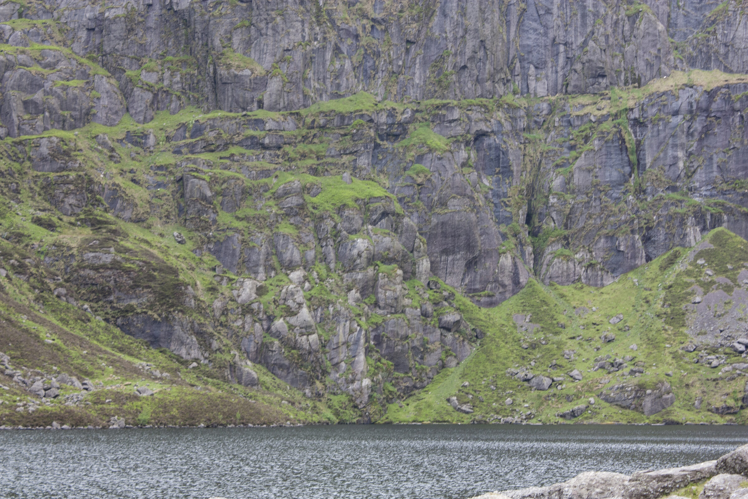
The high circuit above Coumshingaun Lough crosses steep and exposed ground. Choose settled conditions, carry a mountain map and avoid improvising a descent down the coum’s cliffs. If unsure about route-finding or exposure, book a qualified guide.
Access and starting points
Use the recognised trailhead for the exact route you have chosen. Protect access for residents and farm traffic. Check local notices before travel; the lake walk, high circuit and Mahon Falls path are different outings.
A lower-level alternative
Visit Waterford describes Mahon Falls as a short 30–45 minute walk. It offers mountain scenery without undertaking the Coumshingaun ridge circuit.
These are planning summaries, not turn-by-turn route instructions. Bring a suitable map and compass and know how to use them; choose a qualified local guide if the terrain or navigation exceeds your experience.
Check current local information
Visit Waterford hiking information ↗
Information reviewed 26 October 2026. Closures, trail alignments and conditions can change.
Official route information & maps
The high circuit above Coumshingaun is a challenging mountain outing. The shorter Mahon Falls walk is a separate lower-level alternative.
- High circuit
- About 4–5 hours · Challenging
- Alternative
- Mahon Falls · 30–45 minutes
No official downloadable high-circuit route map was verified. Use appropriate mountain mapping and experienced route advice.
Official sources checked 26 October 2026. Maps remain on their publishers’ websites and retain their usage terms. Follow current notices where older mapping differs.