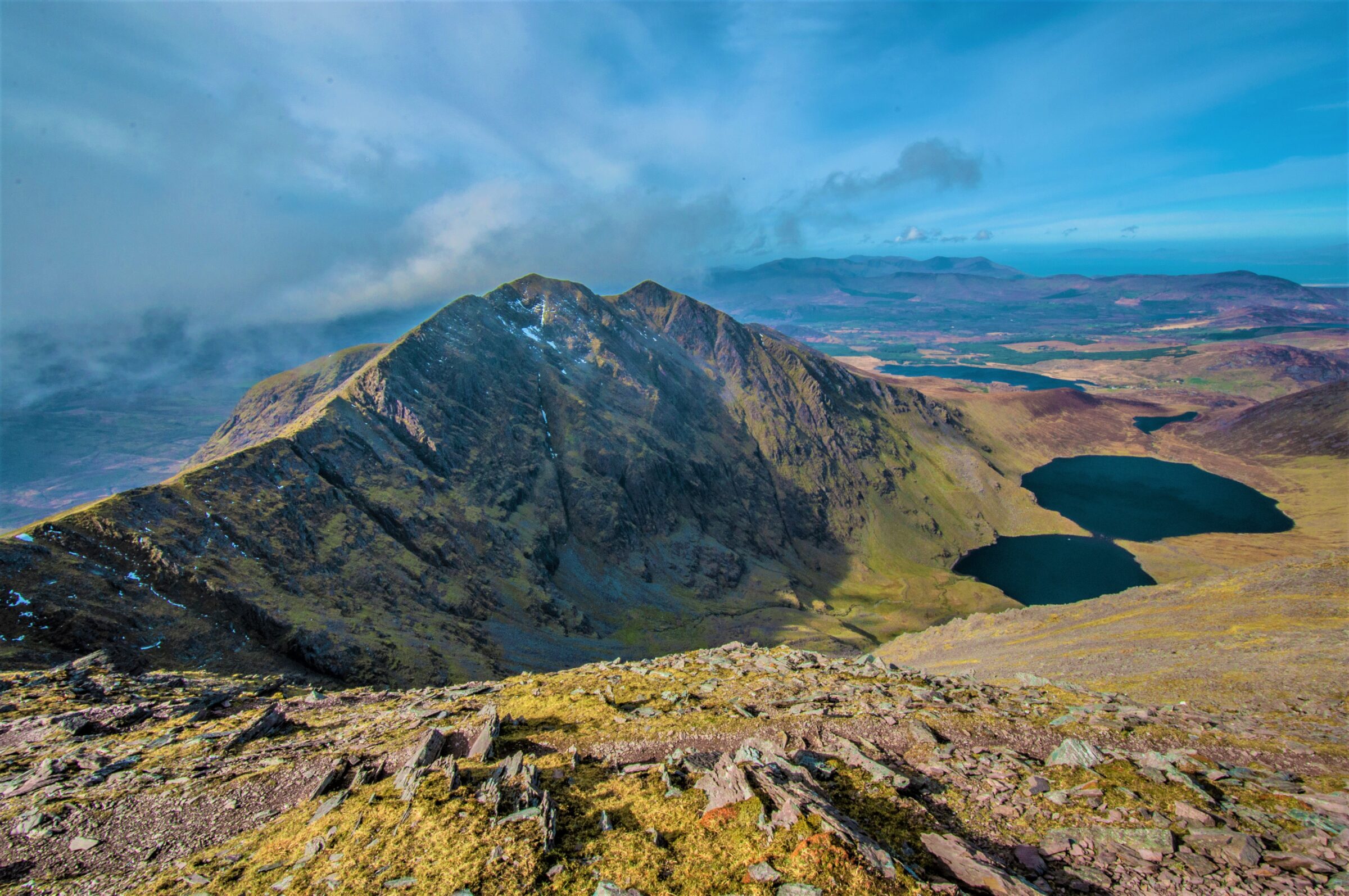
Choose your mountain day
Carrauntoohil with a qualified local guide
- Difficulty
- Demanding mountain day
- Time to allow
- A full day; route and conditions determine timing
- Useful bases
- Beaufort or Killarney
Plan the outing
Choose the route with a qualified guide rather than assuming the busiest path is the easiest. Kerry Mountain Rescue describes several distinct ascents, with scrambling and exposure on some options. A valley walk in Hag’s Glen is a different outing from reaching the summit.
Access and starting points
Use recognised access points at Cronin’s Yard, Lisliebane or Breanlee. The Reeks are privately owned farmland. Dogs are not permitted; groups of ten or more must register with the Mountain Access Forum. Follow current parking and access notices.
A lower-level alternative
Explore the lower Hag’s Glen with local advice, or choose a signed Killarney National Park walk when mountain conditions are unsuitable.
These are planning summaries, not turn-by-turn route instructions. Bring a suitable map and compass and know how to use them; choose a qualified local guide if the terrain or navigation exceeds your experience.
Check current local information
Reeks Mountain Access Forum ↗
Kerry Mountain Rescue route information ↗
Information reviewed 26 October 2026. Closures, trail alignments and conditions can change.
Official route information & maps
Choose a recognised access point at Cronin’s Yard, Lisliebane or Breanlee and plan the summit route with suitable mountain experience or a qualified guide.
- Terrain
- Demanding open mountain
- Dogs
- Not permitted
No official free summit-route map was verified. The leaflet is safety advice; use appropriate topographic mapping and current access guidance.
Official sources checked 26 October 2026. Maps remain on their publishers’ websites and retain their usage terms. Follow current notices where older mapping differs.