
Mountain adventures
Top 10 Hikes in Ireland
A varied shortlist of summit days, mountain loops and celebrated trails. Difficulty varies greatly, so treat the list as inspiration and match every route to your navigation skills, fitness and the forecast.
Explore the top 10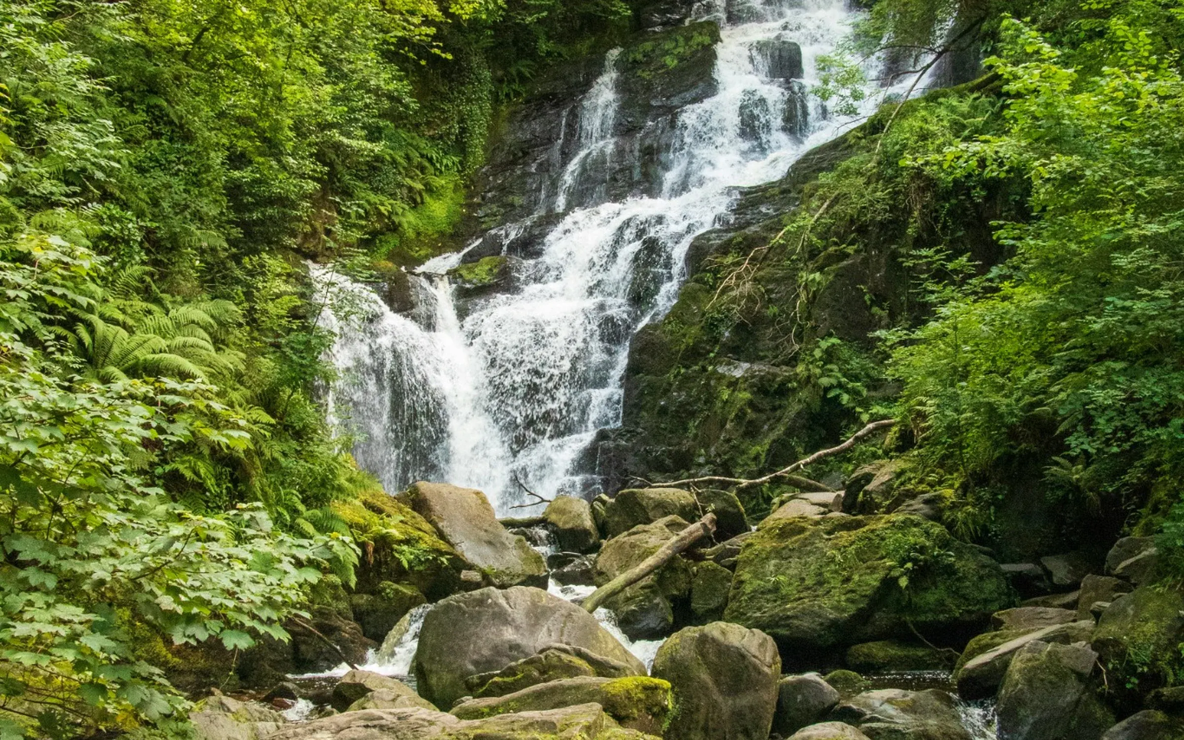
1. Carrauntoohil
Ireland’s highest mountain is a demanding day requiring sound route choice, mountain fitness and suitable conditions. First-time visitors should strongly consider a qualified local guide.
Plan it: Choose a recognised access point at Cronin’s Yard, Lisliebane or Breanlee and plan the summit route with suitable mountain experience or a qualified guide.
- Terrain
- Demanding open mountain
- Dogs
- Not permitted
Access & map notes
No official free summit-route map was verified. The leaflet is safety advice; use appropriate topographic mapping and current access guidance.
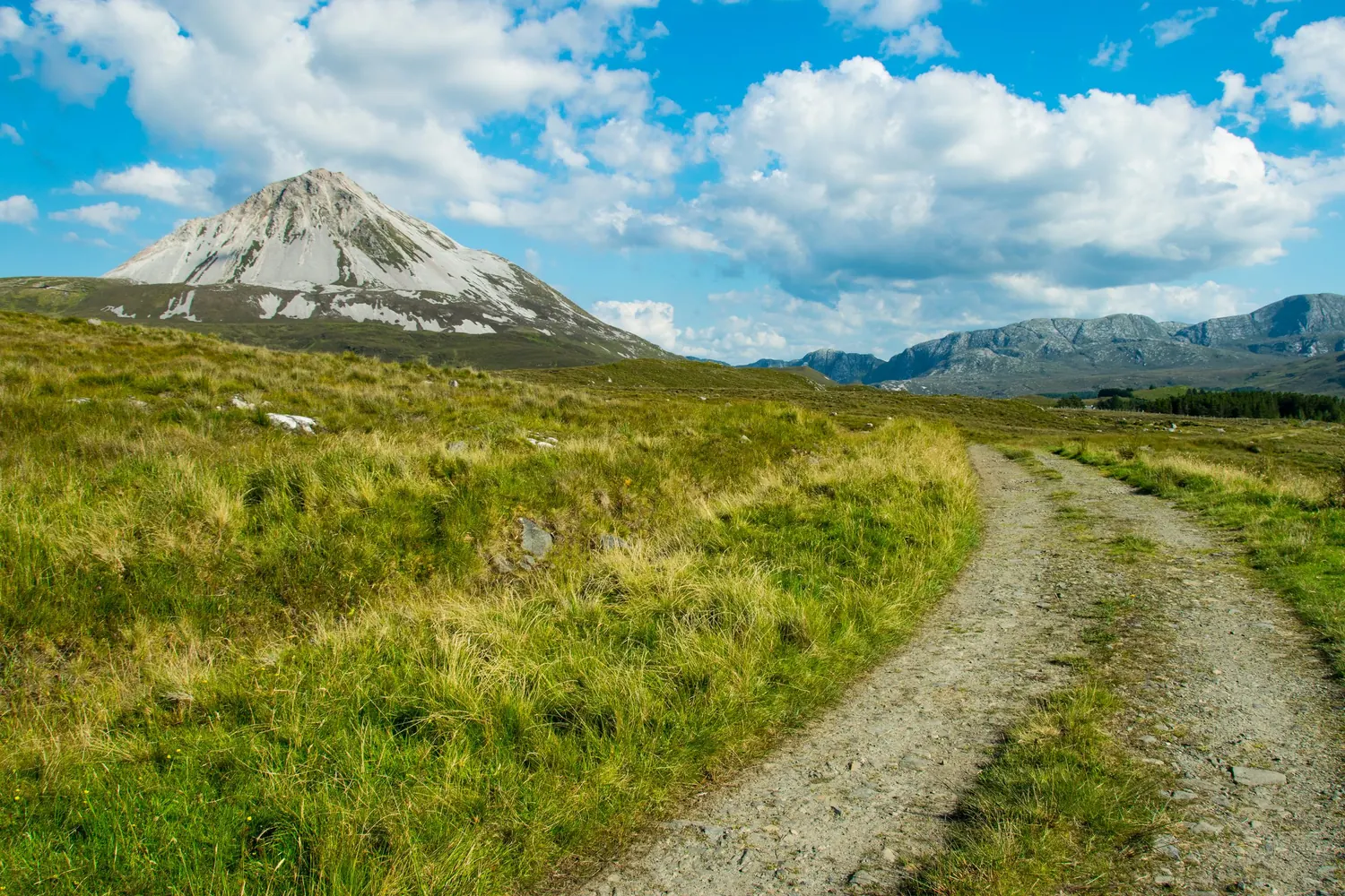
2. Mount Errigal
Donegal’s distinctive peak delivers far-reaching views, but its steep upper slopes and changeable weather deserve care despite the route’s popularity.
Plan it: Start at the R251 car park and remain on the constructed path to protect the recovering habitat.
- Distance
- 5.2 km
- Time
- 2–3 hours
- Recommended map
- OSI Sheet 1
Access & map notes
The community page provides an online map; no downloadable official route map was verified.
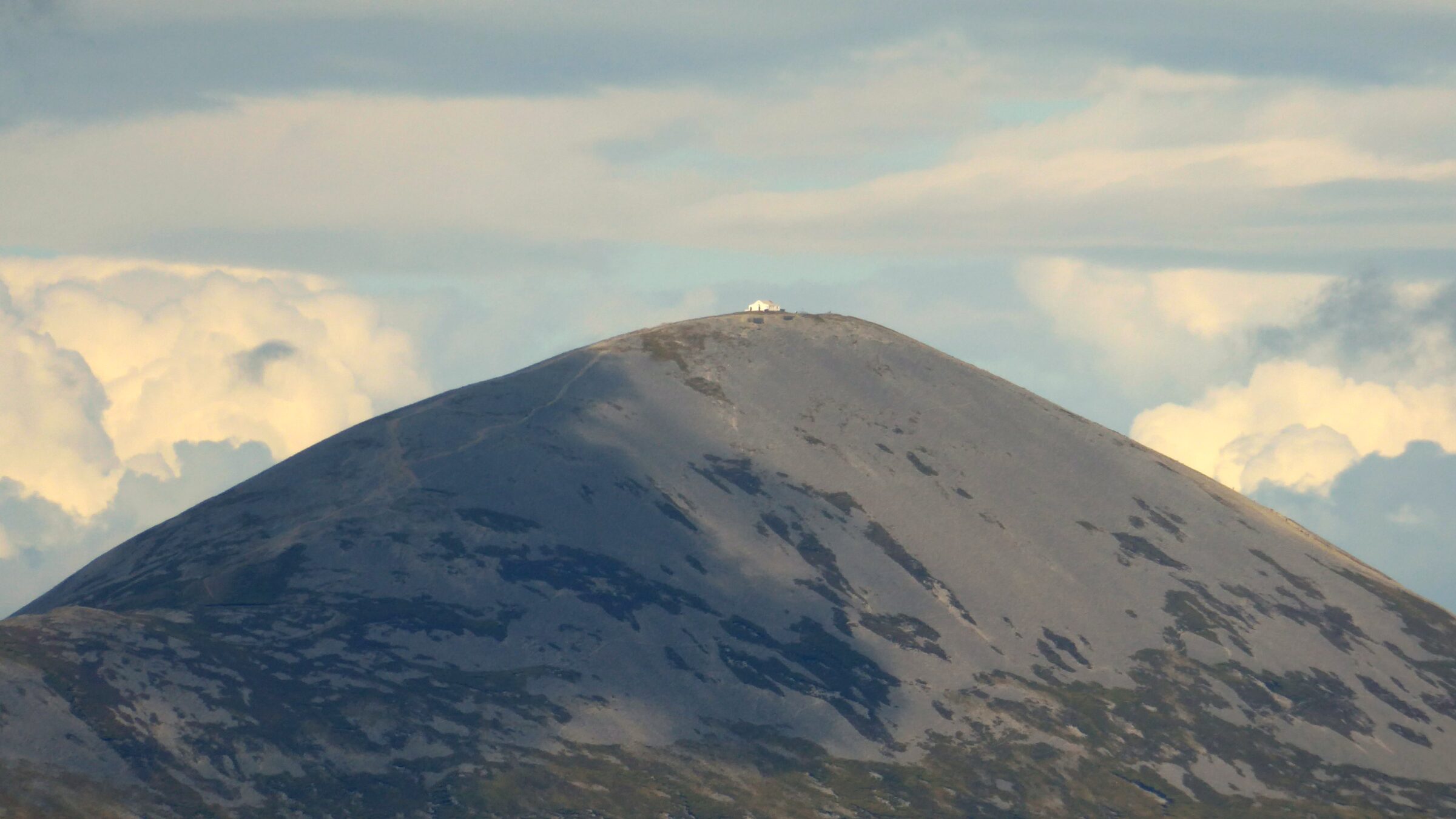
3. Croagh Patrick
A famous pilgrimage mountain above Clew Bay. The ascent is sustained and the upper cone is loose underfoot, making good footwear and patient pacing important.
Plan it: Use the restored Pilgrim Path from Murrisk and respect the mountain’s current access instructions.
- Route
- Sustained mountain ascent
- Base
- Murrisk
Access & map notes
No downloadable official summit-route map was verified. Carry suitable topographic mapping; the lower Murrisk loop is a different outing.
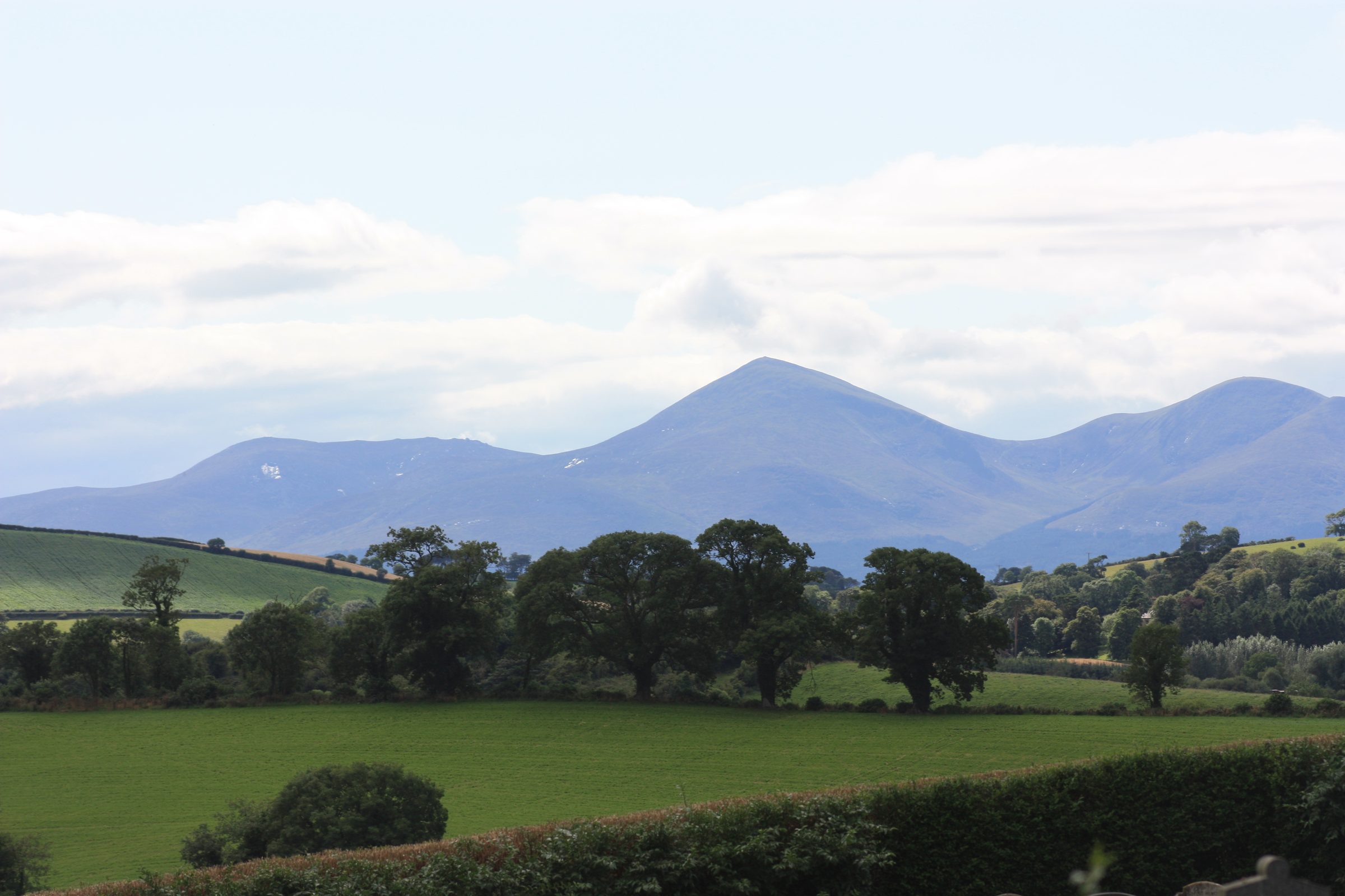
4. Slieve Donard
The highest summit in Northern Ireland rises from the coast above Newcastle, with a substantial ascent through forest and onto the Mourne Wall.
Plan it: The Glen River approach climbs from Newcastle through forest to open mountain terrain and the Mourne Wall.
- Grade
- Very strenuous
- Format
- Linear; allow for the return
- Recommended map
- OSNI Sheet 29
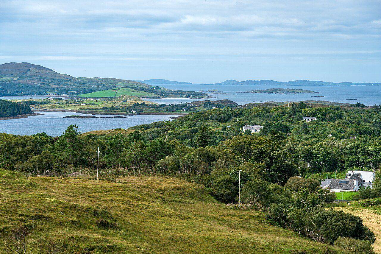
5. Diamond Hill
Diamond Hill offers more than one walking commitment from Connemara National Park near Letterfrack. Choose the lower trail or the upper mountain route before setting off, and use the park’s current trail map to understand the complete outing.
Plan it: Start the signed Diamond Hill trails at the visitor centre near Letterfrack. The wider Twelve Bens have no comparable formal trail network.
- Lower circuit
- 3 km · Moderate
- Upper circuit
- 3.7 km · Strenuous
Access & map notes
The upper circuit is reached via the lower trail. Check the map for your complete outing; this is not a Twelve Bens traverse map.
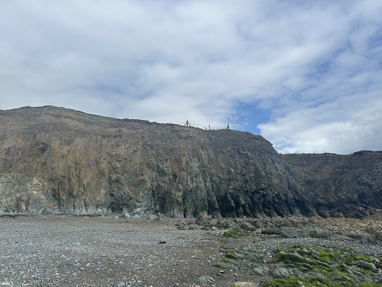
6. Coumshingaun Loop
A dramatic Comeragh Mountains circuit around a glacial coum. Steep and exposed sections make navigation and settled weather important.
Plan it: The high circuit above Coumshingaun is a challenging mountain outing. The shorter Mahon Falls walk is a separate lower-level alternative.
- High circuit
- About 4–5 hours · Challenging
- Alternative
- Mahon Falls · 30–45 minutes
Access & map notes
No official downloadable high-circuit route map was verified. Use appropriate mountain mapping and experienced route advice.
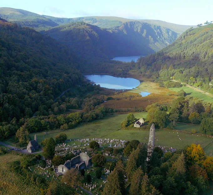
7. Lugnaquilla
Wicklow’s highest mountain has broad, featureless upper ground where cloud can make navigation difficult. It suits experienced hikers with proper mapping skills.
Plan it: Routes reach the mountain from several valleys, but none is marked. The broad summit plateau is difficult to navigate in cloud.
- Route-dependent distance
- 10–16 km
- Time
- 5–8 hours
- Grade
- Difficult
Access & map notes
Carry topographic mapping and check current Glen of Imaal military access notices. No official downloadable summit-route map was verified.
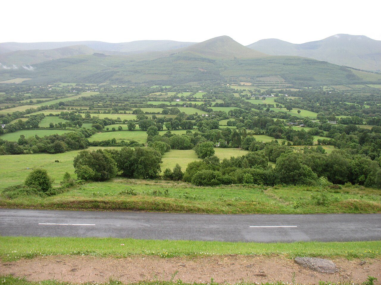
8. Galtymore
The highest point of the Galtee Mountains offers a rewarding ridge outing and broad views across Munster in clear conditions.
Plan it: Distinguish a Galtymore summit day from the mapped lower loops and lake walks in the Glen of Aherlow.
- Terrain
- Open mountains and forest foothills
- Maps
- Available from the local tourist office
Access & map notes
No free official downloadable Galtymore summit-route map was verified. Ask for the map matching your chosen outing.
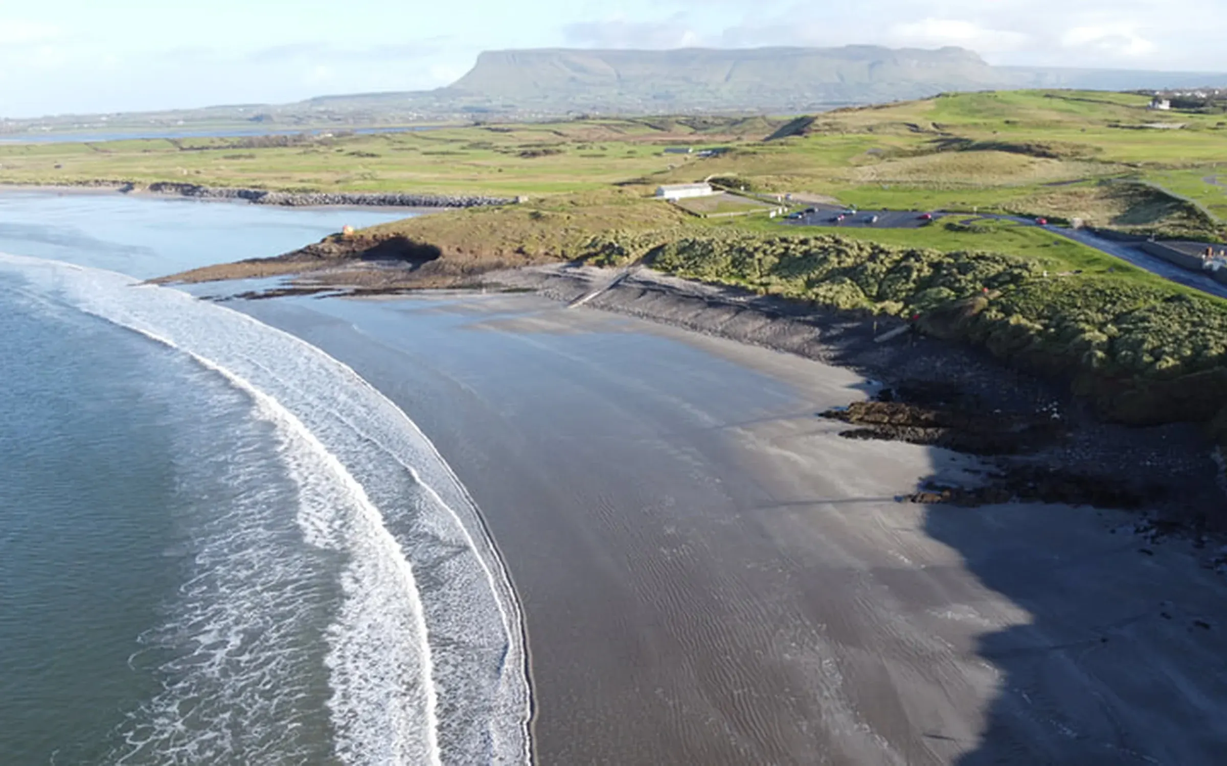
9. Knocknarea
A shorter but steep climb above Strandhill to the summit landscape associated with Queen Maeve, with superb views over Sligo Bay.
Plan it: Use the named Queen Maeve Trail from Knocknarea car park, rather than combining distances from different approaches.
- Distance
- 6.5 km loop
- Time
- 2½ hours
- Grade
- Strenuous
- Dogs
- Not permitted
Access & map notes
Keep off the summit cairn and leave its stones in place.
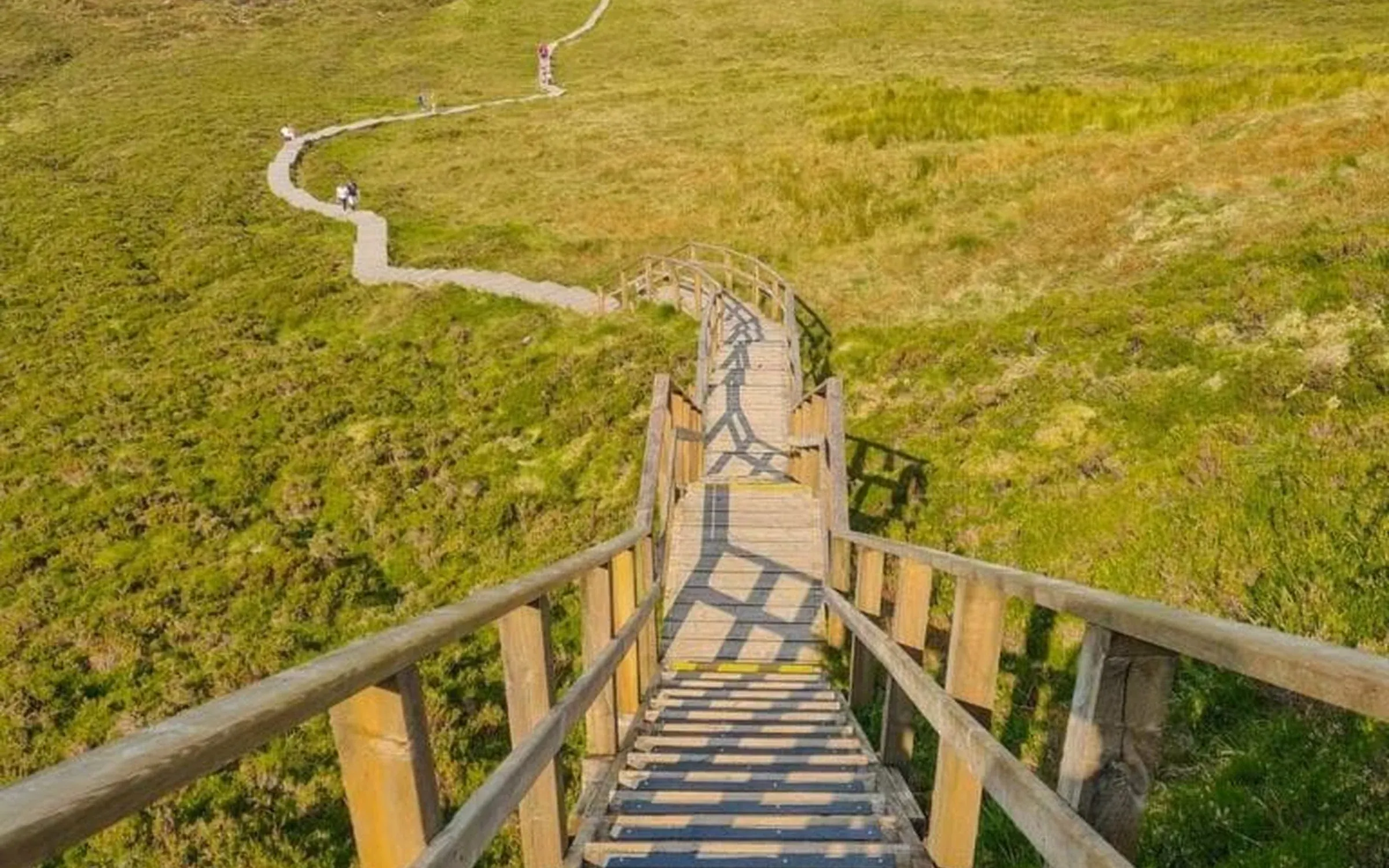
10. Cuilcagh Boardwalk Trail
The popular Cuilcagh boardwalk approach covered here is in County Fermanagh, near Marble Arch Caves. Cuilcagh is a cross-border mountain, but a Cavan label alone does not identify the parking or start for this visit.
Plan it: The Fermanagh approach uses a farmland track, boardwalk and steep staircase to a viewing platform. Confirm parking arrangements and current access before travel.
- Grade
- Difficult
- Terrain
- Track, boardwalk and stairs
- Dogs
- Not permitted
Access & map notes
Turn at the viewing platform. The Geopark currently advises against continuing to the summit. The PDF is approximately 17 MB.
Keep exploring
More things to do.
Use another collection to add complementary stops to your journey.