At a glance
- Fermanagh approach near Marble Arch Caves
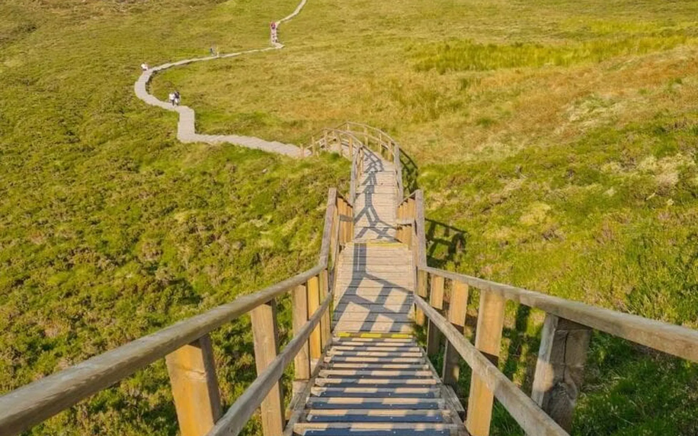
- Steep steps · return from the viewing platform
- No dogs · plan parking and toilets
Choose the start before choosing a distance
The trail manager and parking operators describe distances from different starting points. Confirm the car park and current map you will use instead of treating one number as universal. The Marble Arch Caves visitor guidance suggests allowing two to five hours for the return outing; your start, pace and stops affect the time.
The boardwalk is not the whole walk
Expect an approach on track, boardwalk and a steep staircase. The manager says not to continue beyond the viewing platform towards the summit. Keep to the approved route to protect the sensitive bog habitat. Dogs are not allowed, and the path’s popularity does not remove the need for suitable footwear, clothing and weather planning.
Parking and facilities need a separate plan
There are different parking providers and an alternative approach from Killykeegan Nature Reserve. Check charges, availability and walking distance before travelling. There are no toilets along the trail; the manager identifies facilities at the reserve. Mobile coverage can be poor, so have your route information available offline.
Give the mountain its own day
Our recommendation is to leave a generous daylight margin and avoid a summit deadline or a tight onward booking. Use the Fermanagh guide to place the trail in the wider trip, then choose an indoor or lower-level alternative if conditions do not suit your party.
Fit it into your trip
Use the Fermanagh travel guide to plan your base and the rest of the journey.
Official information
- Marble Arch Caves: trail and visitor guidance
- Geopark: Cuilcagh Boardwalk Trail
- Parking operator: its own start and route distance
Official information checked 23 October 2026. Check current opening, access and booking notices before travel. Suggested time allowances are planning estimates unless attributed to the operator.
How this guide was prepared
Prepared for Adventure Ireland with AI-assisted desk research using the official sources above. The comparisons and itinerary suggestions are planning recommendations; this guide does not describe a first-hand visit.
Official route information & maps
The Fermanagh approach uses a farmland track, boardwalk and steep staircase to a viewing platform. Confirm parking arrangements and current access before travel.
- Grade
- Difficult
- Terrain
- Track, boardwalk and stairs
- Dogs
- Not permitted
Turn at the viewing platform. The Geopark currently advises against continuing to the summit. The PDF is approximately 17 MB.
Official sources checked 26 October 2026. Maps remain on their publishers’ websites and retain their usage terms. Follow current notices where older mapping differs.