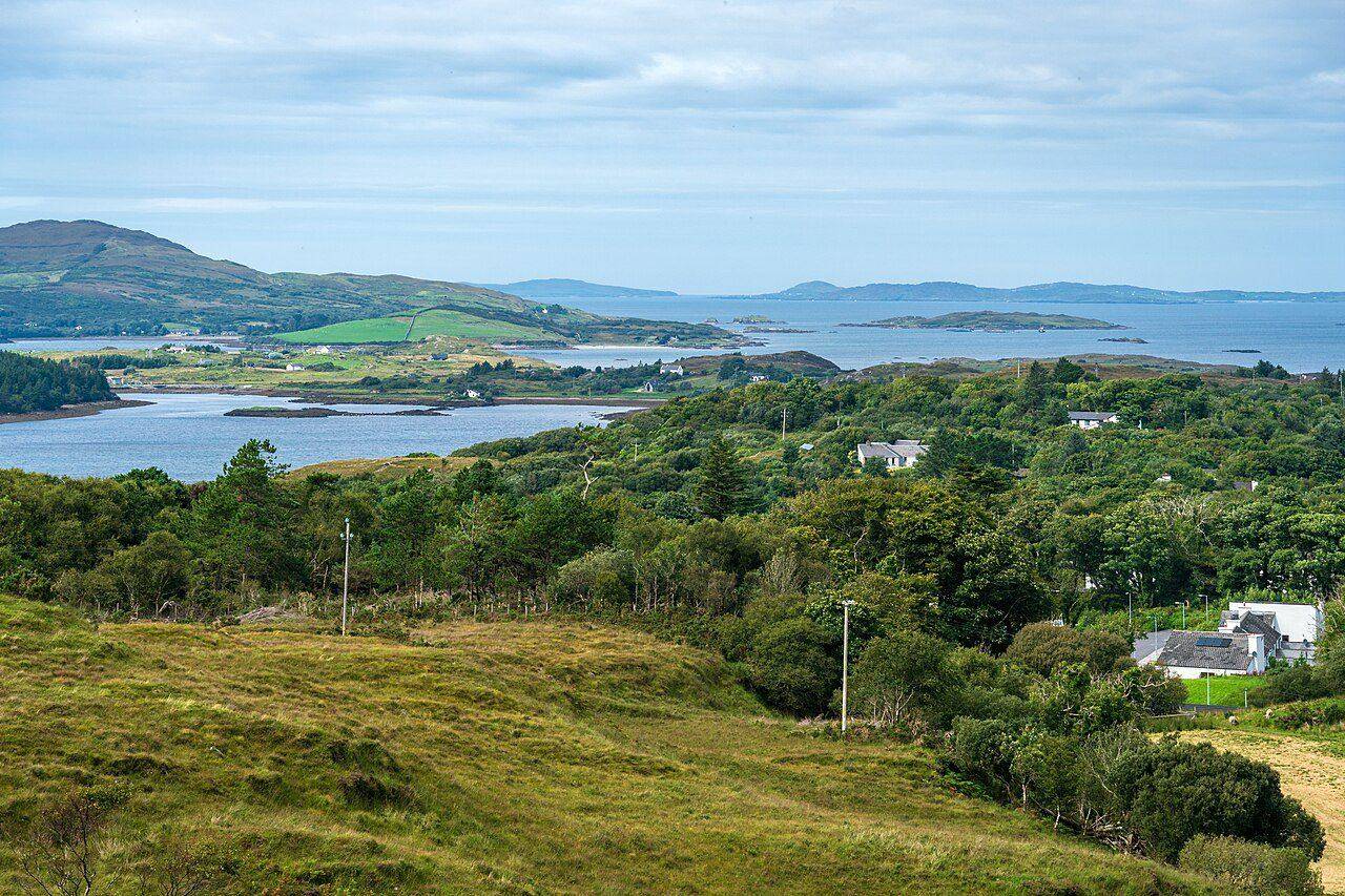
At a glance
- Lower blue route: 3 km · Moderate
- Upper red route: Strenuous
- Start at the national park visitor centre
Lower trail: a defined moderate option
The park lists the blue Lower Diamond Hill route as 3 km, graded Moderate, with 90 m of ascent. It starts and returns at the visitor centre and uses track, steps and boardwalk. This is a distinct option for visitors who want a shorter outing without committing to the upper mountain.
Upper trail: a greater commitment
The red upper route is graded Strenuous. It is reached using the approach trails, so the length of the upper section alone should not be treated as the total walk from the visitor centre. Read the park’s map for the full combination you intend to follow and ask staff about current conditions or closures.
Prepare for a mountain setting
Clear views are a bonus rather than a promise. Use appropriate walking equipment, check the forecast and leave time for a return in daylight. If conditions or the group’s energy change, stay with the lower option or turn back rather than treating the summit as compulsory.
Keep a Connemara day separate from Galway city
Our recommendation is to leave the upper route a generous part of the day, including breaks and travel to Letterfrack. Galway City Museum is an alternative city outing on another day; its location is not close enough to serve as an immediate indoor fallback at the trailhead.
Fit it into your trip
Use the Galway travel guide to plan your base and the rest of the journey.
- Galway City Museum — Plan a separate city visit alongside a Connemara stay.
Official information
Official information checked 23 October 2026. Check current opening, access and booking notices before travel. Suggested time allowances are planning estimates unless attributed to the operator.
How this guide was prepared
Prepared for Adventure Ireland with AI-assisted desk research using the official sources above. The comparisons and itinerary suggestions are planning recommendations; this guide does not describe a first-hand visit.
Official route information & maps
Start the signed Diamond Hill trails at the visitor centre near Letterfrack. The wider Twelve Bens have no comparable formal trail network.
- Lower circuit
- 3 km · Moderate
- Upper circuit
- 3.7 km · Strenuous
The upper circuit is reached via the lower trail. Check the map for your complete outing; this is not a Twelve Bens traverse map.
Official sources checked 26 October 2026. Maps remain on their publishers’ websites and retain their usage terms. Follow current notices where older mapping differs.