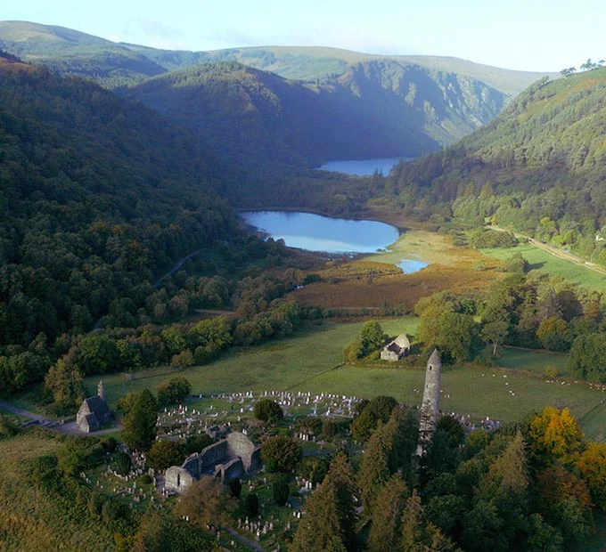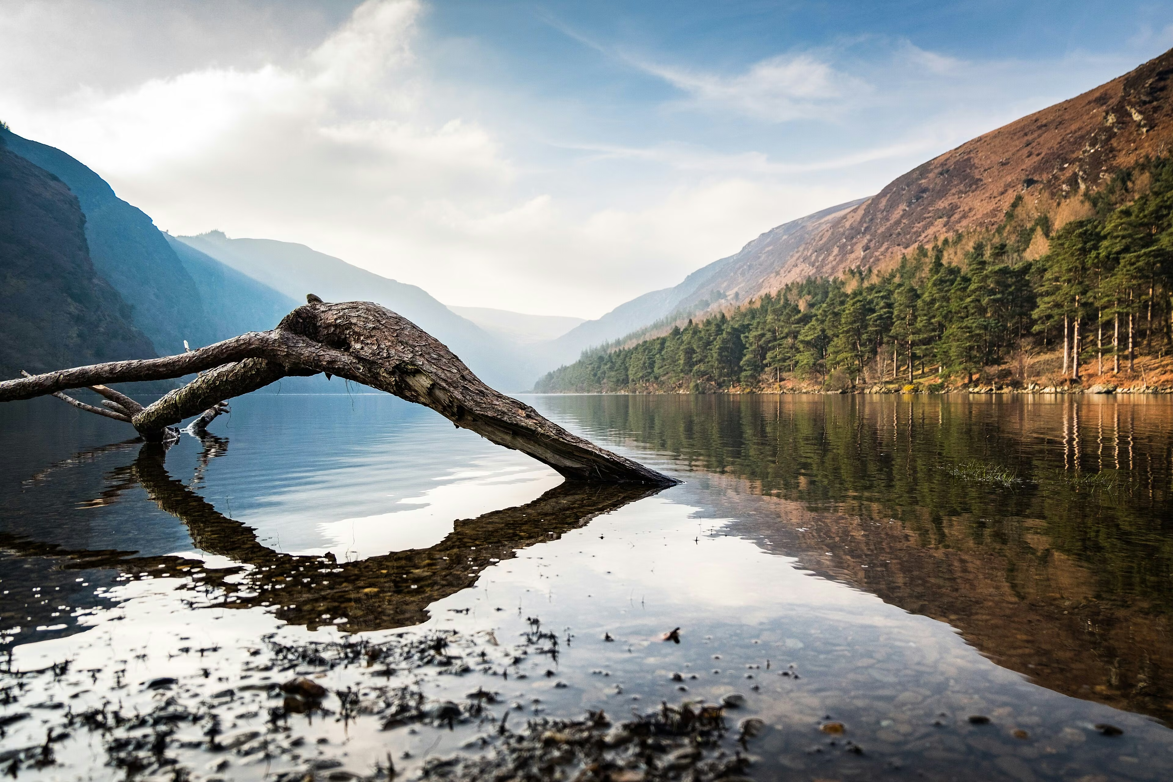
Why it belongs on the list
A memorable stop in Wicklow.
Wicklow’s highest mountain has broad, featureless upper ground where cloud can make navigation difficult. It suits experienced hikers with proper mapping skills.
Use this guide as a starting point, then confirm current access, opening arrangements, weather and local safety information before travelling. Allow enough time to enjoy the setting without rushing, and leave paths, beaches and viewing areas as you found them.
Official route information & maps
Routes reach the mountain from several valleys, but none is marked. The broad summit plateau is difficult to navigate in cloud.
- Route-dependent distance
- 10–16 km
- Time
- 5–8 hours
- Grade
- Difficult
Carry topographic mapping and check current Glen of Imaal military access notices. No official downloadable summit-route map was verified.
Official sources checked 26 October 2026. Maps remain on their publishers’ websites and retain their usage terms. Follow current notices where older mapping differs.