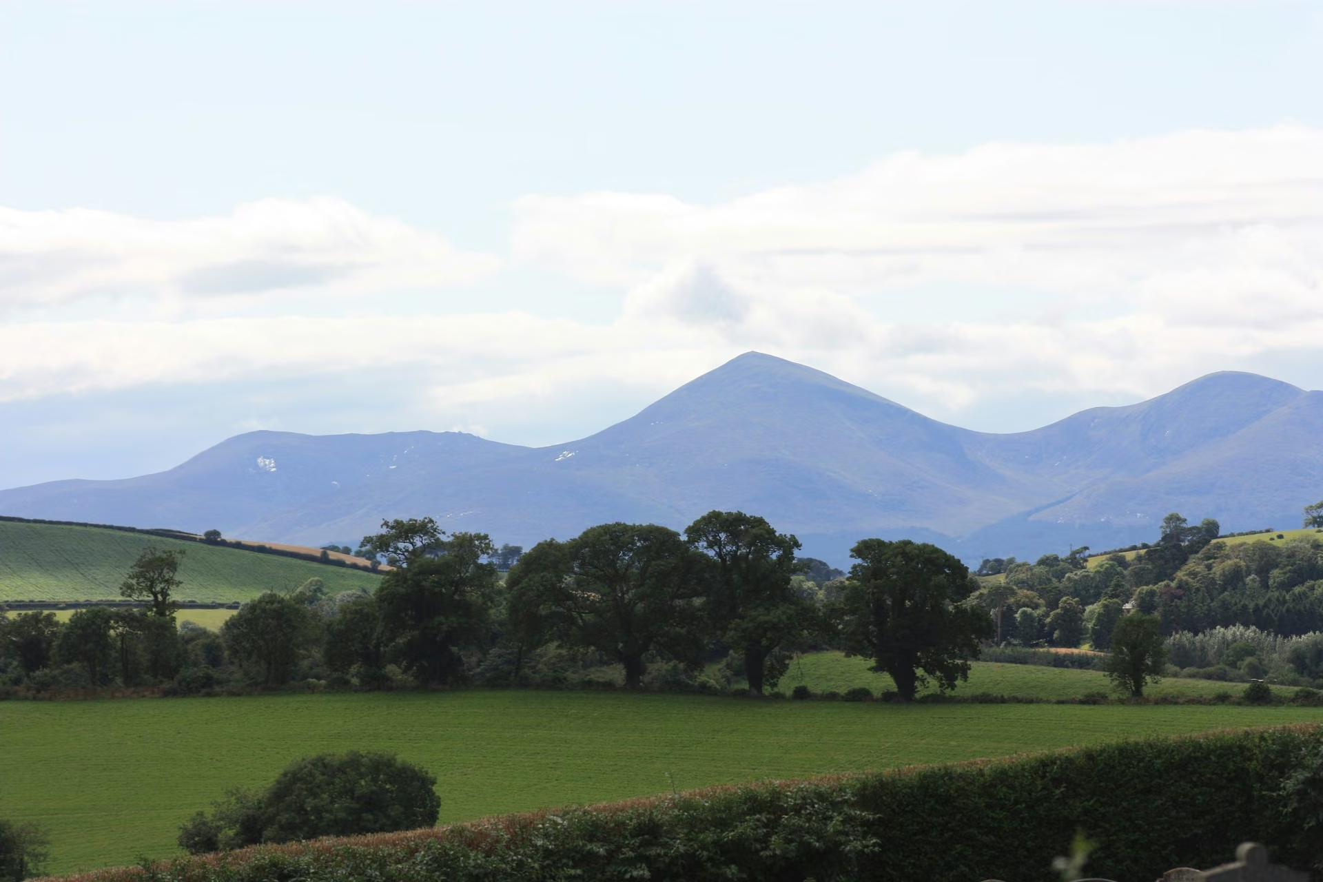
Choose your mountain day
Slieve Donard via Glen River
- Difficulty
- Demanding summit hike
- Time to allow
- Allow a substantial mountain day and time for the descent
- Useful bases
- Newcastle
Plan the outing
The Glen River approach links woodland with open mountain terrain and a steep final ascent beside the Mourne Wall. Slieve Donard is Northern Ireland’s highest summit; the route’s popularity does not remove the need for navigation, good footwear and a suitable forecast.
Access and starting points
Use the recognised Newcastle trailhead and current WalkNI information. Respect gates, water-catchment rules and local notices. A location marker on this guide identifies the mountain area, not a route to follow on the ground.
A lower-level alternative
Choose a lower woodland walk in Donard Forest when cloud, wind or your group’s experience rules out the summit.
These are planning summaries, not turn-by-turn route instructions. Bring a suitable map and compass and know how to use them; choose a qualified local guide if the terrain or navigation exceeds your experience.
Check current local information
WalkNI Slieve Donard route ↗
Tourism Northern Ireland ↗
Information reviewed 26 October 2026. Closures, trail alignments and conditions can change.
Official route information & maps
The Glen River approach climbs from Newcastle through forest to open mountain terrain and the Mourne Wall.
- Grade
- Very strenuous
- Format
- Linear; allow for the return
- Recommended map
- OSNI Sheet 29
Official sources checked 26 October 2026. Maps remain on their publishers’ websites and retain their usage terms. Follow current notices where older mapping differs.