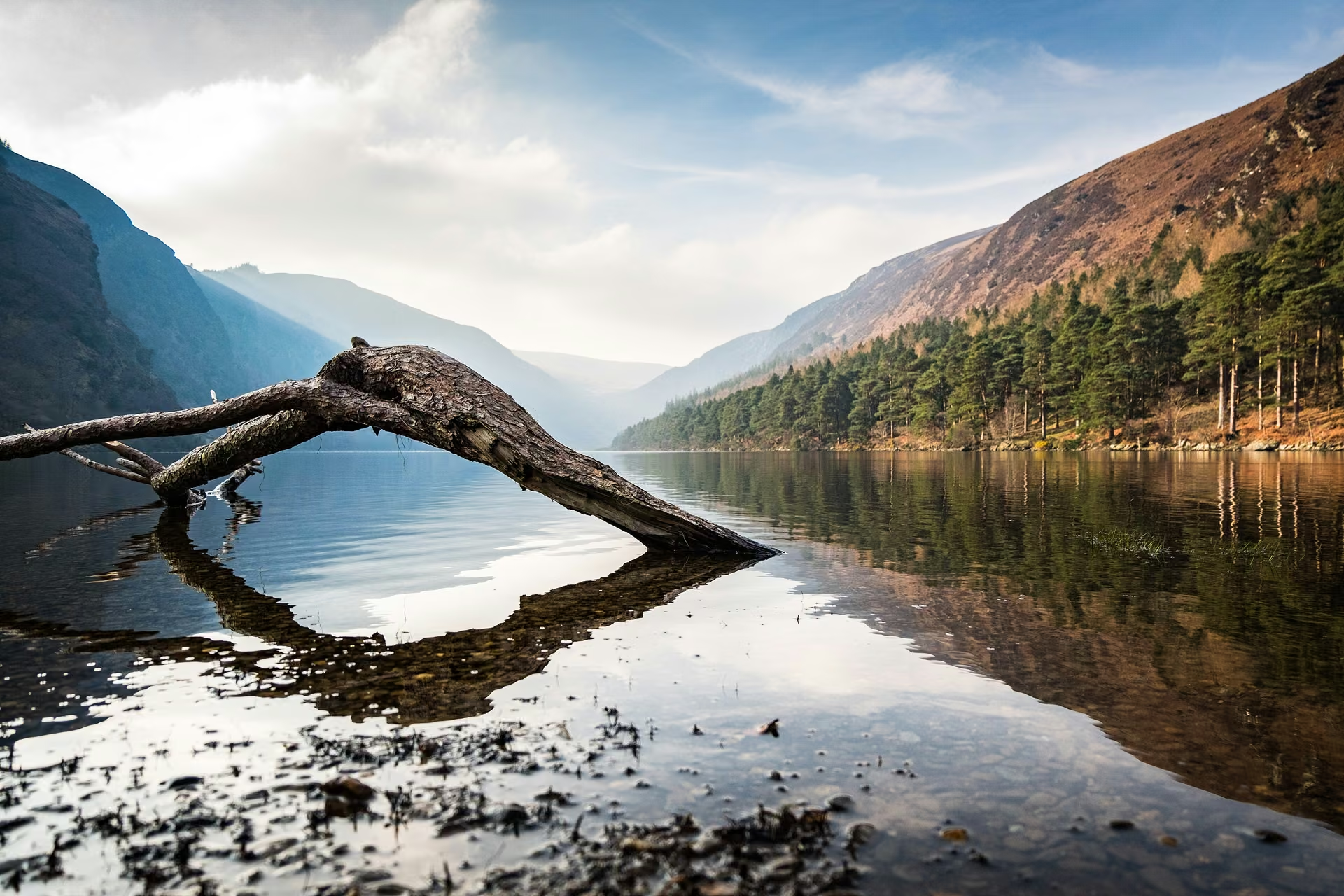
Choose your mountain day
Spinc and Glenealo Valley; Lugnaquilla for experienced hikers
- Difficulty
- Strenuous trails; remote summits are more demanding
- Time to allow
- Allow a substantial half day for the Spinc; a full day for Lugnaquilla
- Useful bases
- Laragh, Glendalough or Glenmalure
Plan the outing
The park’s current White Route is a strenuous 9.5 km loop with rocky trail, boardwalk and forest road. Follow the park’s latest map and route direction. Lugnaquilla is a separate, more committing summit outing: do not treat the Spinc trail as a route to it.
Access and starting points
Start park trails at the National Park Information Office near Glendalough’s Upper Lake. For Lugnaquilla, check landowner restrictions and the Defence Forces’ Glen of Imaal closure notices. Stay out of military danger areas and obey red flags and signs.
A lower-level alternative
Choose a lower lakeside or woodland trail at Glendalough if the exposed Spinc or open mountains do not suit your group.
These are planning summaries, not turn-by-turn route instructions. Bring a suitable map and compass and know how to use them; choose a qualified local guide if the terrain or navigation exceeds your experience.
Check current local information
Wicklow Mountains National Park ↗
Glen of Imaal access notices ↗
Information reviewed 26 October 2026. Closures, trail alignments and conditions can change.
Official route information & maps
The White Route starts at the Information Office by the Upper Lake and follows Miners’ Road towards the Spinc and Glenealo Valley.
- White Route
- 9.5 km loop
- Time
- 3 hr 15 min
- Grade
- Strenuous
The downloadable leaflet is older than some current diversions. Follow the park’s latest route directions and closures. It does not map a Lugnaquilla summit route.
Official sources checked 26 October 2026. Maps remain on their publishers’ websites and retain their usage terms. Follow current notices where older mapping differs.