At a glance
- Short coastal outing
- Approximately 30 minutes in tourism guidance
- Use current signed public access
Which walk does this guide cover?
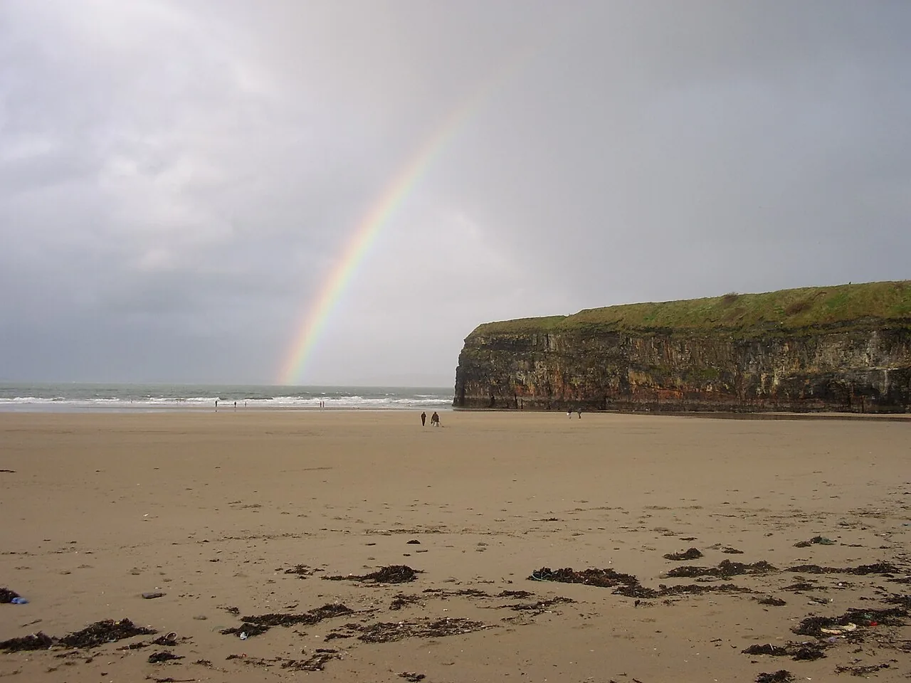
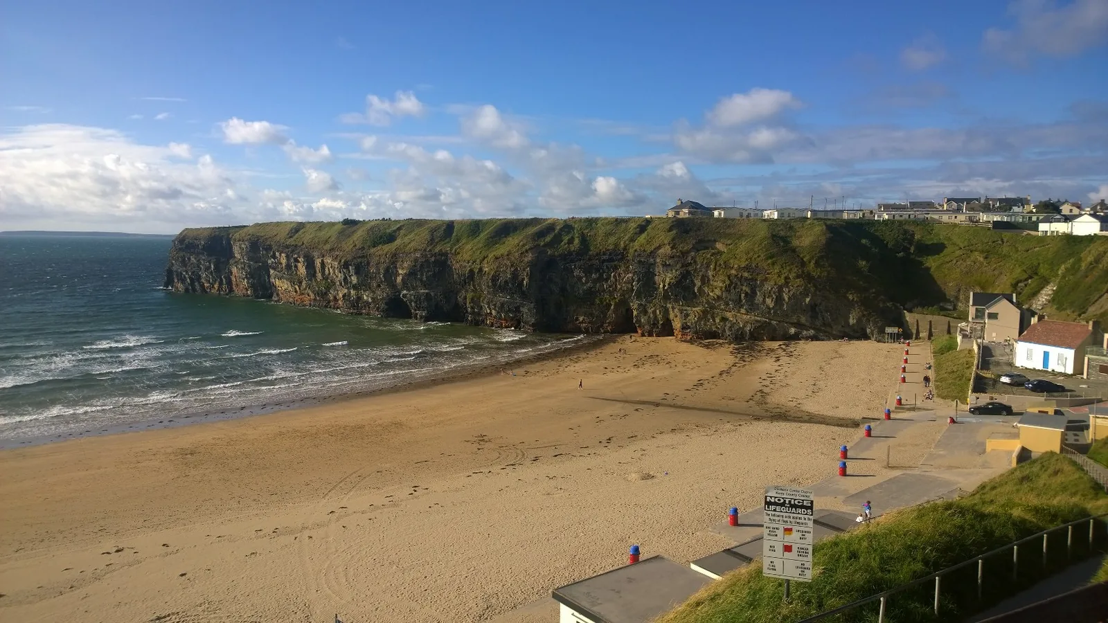
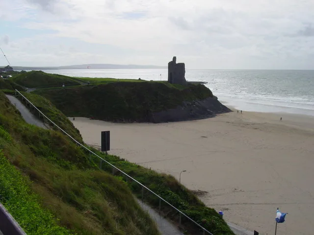
Discover Ireland describes the cliff path as an approximately thirty-minute outing taking in the headland scenery between the town’s beaches. That is the short clifftop visit covered here. It should not be confused with a longer beach circuit or a route through the golf course.
Start with the local signs
Use the town’s recognised beach and cliff-path access points and read current notices before committing to the route. We have not verified a current surveyed distance or ascent for this particular short path, so do not use a figure from a different Ballybunion walk. Choose public parking and leave access for residents and emergency vehicles.
A short route still needs care
Wear footwear with grip and stay well back from exposed edges. Do not follow informal paths towards sea caves, blowholes or the base of cliffs. Our suggested plan is the cliff path followed by a town break, with a shorter return if conditions or anyone’s confidence change. Golf-club land is not an alternative public walking route; a round there requires its own booking.
Fit it into your trip
Use the Kerry travel guide to plan your base and the rest of the journey.
- Ballybunion Old Course — Plan a separately booked golf visit, rather than extending a public walk onto the course.
Official information
Official information checked 23 October 2026. Check current opening, access and booking notices before travel. Suggested time allowances are planning estimates unless attributed to the operator.
How this guide was prepared
Prepared for Adventure Ireland with AI-assisted desk research using the official sources above. The comparisons and itinerary suggestions are planning recommendations; this guide does not describe a first-hand visit.
Official route information & maps
A short coastal path from the north side of Ballybunion Beach, marked with white arrows on green.
- Time
- About 30 minutes
- Grade
- Easy
- Dogs
- On a lead
Published distances differ: the map gives 1.5 km and the register 1 km. Check the current trailhead signs.
Official sources checked 26 October 2026. Maps remain on their publishers’ websites and retain their usage terms. Follow current notices where older mapping differs.