At a glance
- 2 km there and back in the trail register
- Moderate · 114 m ascent
- Bray Head car park · no dogs
Use the registered route, not an assumed loop
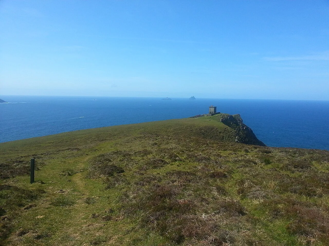
Sport Ireland lists a linear route with a total there-and-back length of 2 km, a Moderate grade and 114 m of ascent. The start is the Bray Head car park near Portmagee, with purple arrows on a white background. Dogs are not allowed. Follow current signs and return by the approved route rather than extending onto an old loop from another guide.
The signal tower has changed
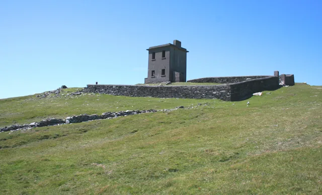
Kerry’s tourism authority announced the opening of the restored Bray Head Discovery Point in July 2026, including a rooftop viewing platform. It is no longer helpful to describe the tower simply as abandoned. Check the visitor arrangements separately: the existence of the walking route does not guarantee tower entry at every time.
Plan the rest of Valentia around the walk
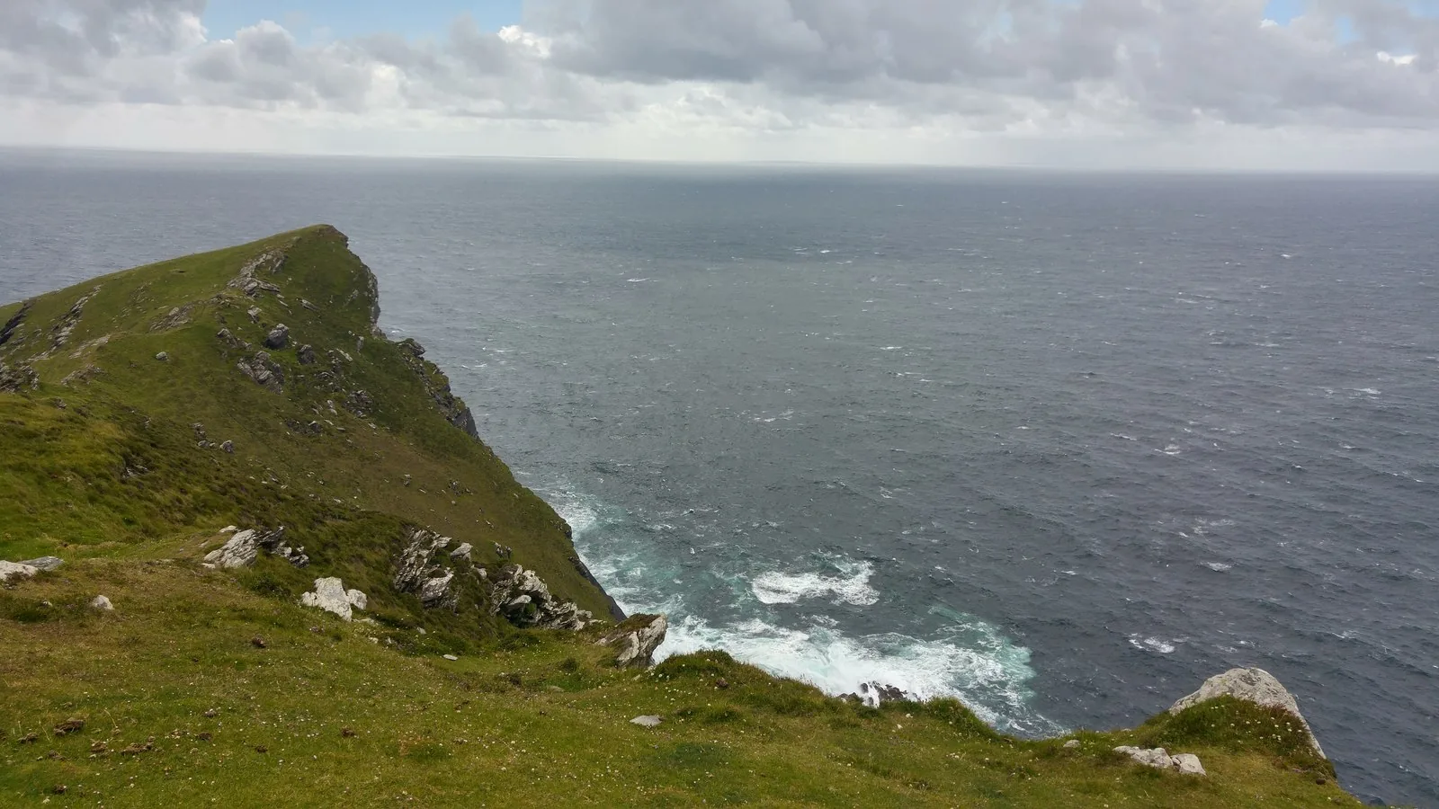
Our recommendation is to leave time for the climb, stops and the return before adding another island visit. The headland can be exposed even when the car park feels sheltered. Keep away from unprotected edges and choose a different day in unsuitable conditions. Cromwell Point lighthouse is a separate stop on Valentia, with its own season and ticket arrangements.
Fit it into your trip
Use the Kerry travel guide to plan your base and the rest of the journey.
- Valentia Lighthouse at Cromwell Point — Plan a separate seasonal lighthouse visit on the island.
Official information
Official information checked 23 October 2026. Check current opening, access and booking notices before travel. Suggested time allowances are planning estimates unless attributed to the operator.
How this guide was prepared
Prepared for Adventure Ireland with AI-assisted desk research using the official sources above. The comparisons and itinerary suggestions are planning recommendations; this guide does not describe a first-hand visit.
Official route information & maps
Follow the recognised access track towards the signal tower and return the same way.
- Distance
- 2 km there and back
- Grade
- Moderate
- Ascent
- 114 m
- Dogs
- Not permitted
Use the current registered out-and-back route; older descriptions may refer to a loop.
Official sources checked 26 October 2026. Maps remain on their publishers’ websites and retain their usage terms. Follow current notices where older mapping differs.