At a glance
- 3.7 km loop · Strenuous
- Approximately 2 hours · 190 m ascent
- Tooreen Point car park · no dogs
The official trail details
Sport Ireland records a 3.7 km loop graded Strenuous, with 190 m of ascent and a published time of two hours. It begins at Tooreen Point car park near Kilcrohane and follows blue arrows on yellow backgrounds. Dogs are not allowed. The grade matters more than the small number of kilometres.
Expect rocky, exposed terrain
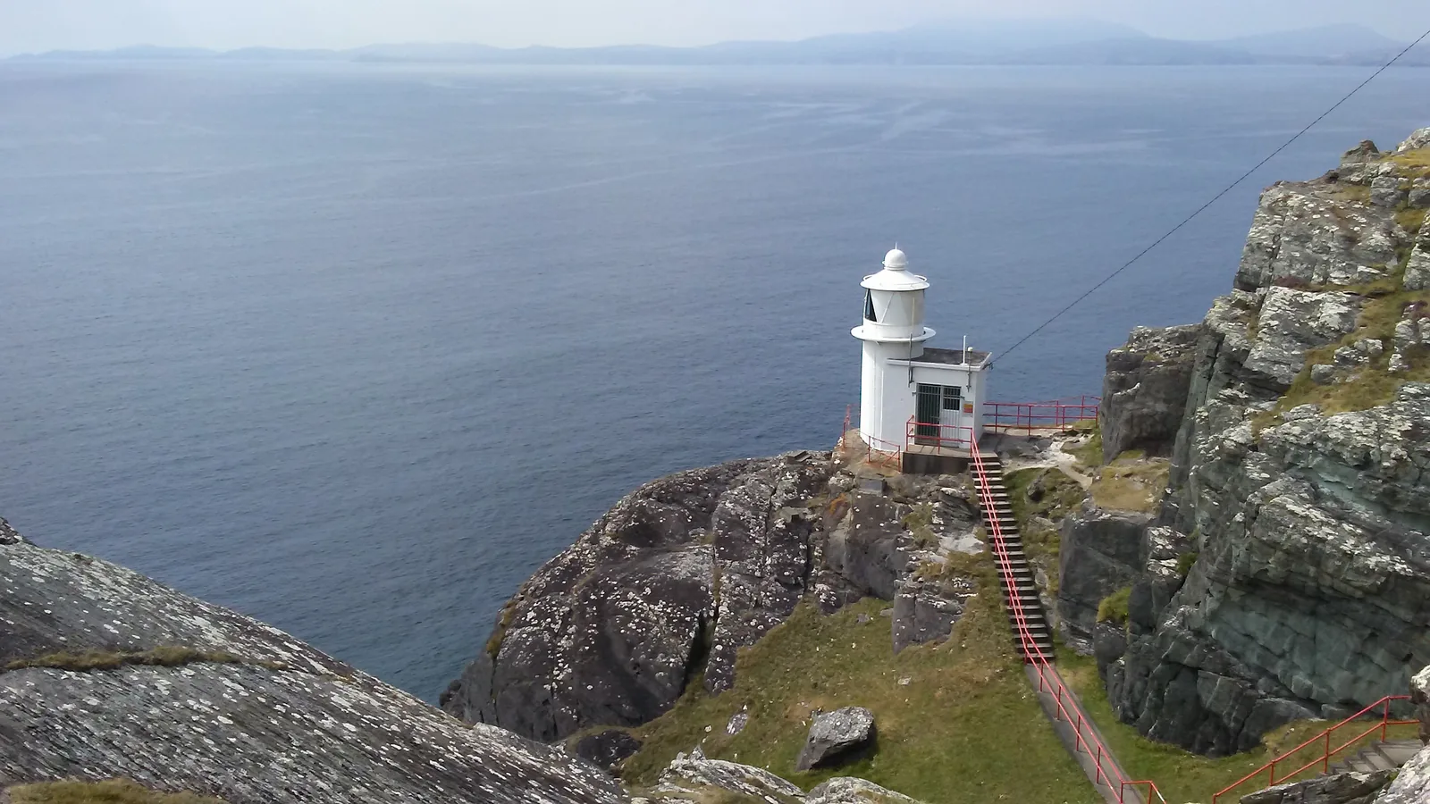
The trail includes steep ground and high coastal cliffs around the lighthouse and Lough Akeen area. Carry the current map and appropriate walking equipment, watch the forecast and remain on the signed route. Turn back if footing, visibility or wind makes continuing unsuitable; reaching the lighthouse is not a reason to press on.
Leave enough time for West Cork
Our recommendation is to give this peninsula outing its own substantial part of the day, allowing for the drive to the trailhead as well as the walk. Do not turn the published two-hour walking estimate into an arrival-to-departure promise. Cork Public Museum is a separate city visit for another part of a Cork trip, not a nearby weather shelter for this trail.
Fit it into your trip
Use the Cork travel guide to plan your base and the rest of the journey.
- Cork Public Museum — Plan an independent Cork city heritage day.
Official information
Official information checked 23 October 2026. Check current opening, access and booking notices before travel. Suggested time allowances are planning estimates unless attributed to the operator.
How this guide was prepared
Prepared for Adventure Ireland with AI-assisted desk research using the official sources above. The comparisons and itinerary suggestions are planning recommendations; this guide does not describe a first-hand visit.
Official route information & maps
Start at Tooreen Point car park and follow the blue loop markers. The yellow Sheep’s Head Way does not complete the same return loop.
- Distance
- 3.7 km loop
- Time
- 2 hours
- Grade
- Strenuous
- Dogs
- Not permitted
Official sources checked 26 October 2026. Maps remain on their publishers’ websites and retain their usage terms. Follow current notices where older mapping differs.