At a glance
- 7.8 km loop
- Moderate · approximately 2 hours
- Howth Railway Station · 130 m ascent
Follow the green loop
Sport Ireland lists this route as a 7.8 km loop, graded Moderate, with 130 m of ascent and a published time of two hours. It starts and finishes at Howth Railway Station and uses green arrows on a white background. A start at another car park changes the approach; do not mix that estimate with the complete station loop.
Check the route before leaving the village
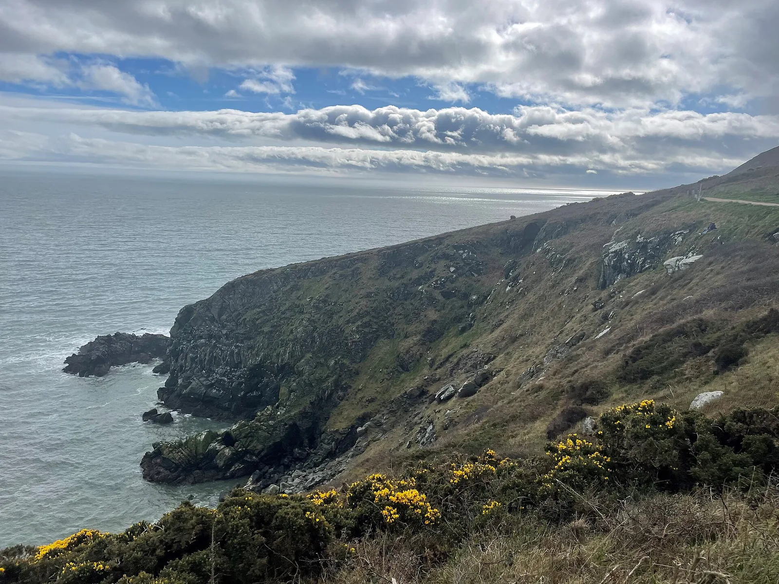
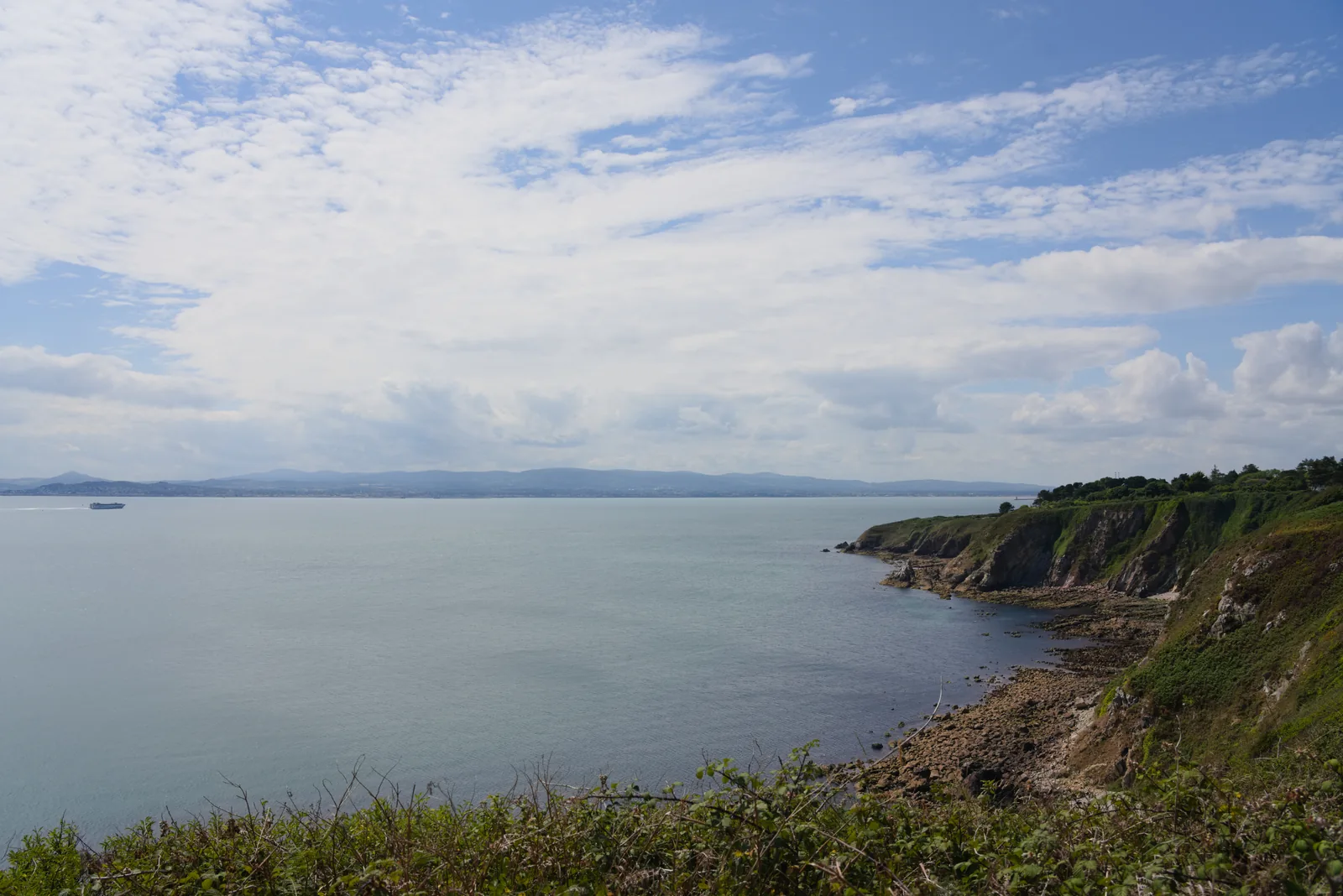
Use the official trail map and current notices to identify the route and any closures. The terrain can be rough or muddy, and walking boots are recommended in the trail information. Keep well back from cliff edges and avoid informal shortcuts, especially when wind or visibility deteriorates.
Make the train part of the plan
Starting at the station makes a public-transport outing practical, but check the current service and allow extra time beyond the published walking duration for stops. Our suggestion is to keep a meal in the village flexible until you return. An indoor Dublin museum is a separate alternative for unsuitable weather; it is not a reason to rush an exposed walk to meet a second timed booking.
Fit it into your trip
Use the Dublin travel guide to plan your base and the rest of the journey.
- National Museum of Ireland – Archaeology — Compare a separately planned indoor Dublin day.
Official information
Official information checked 23 October 2026. Check current opening, access and booking notices before travel. Suggested time allowances are planning estimates unless attributed to the operator.
How this guide was prepared
Prepared for Adventure Ireland with AI-assisted desk research using the official sources above. The comparisons and itinerary suggestions are planning recommendations; this guide does not describe a first-hand visit.
Official route information & maps
The green-arrow loop starts and finishes at Howth Railway Station and climbs towards the Summit.
- Distance
- 7.8 km loop
- Time
- 2 hours
- Grade
- Moderate
- Waymarks
- Green arrows
Official sources checked 26 October 2026. Maps remain on their publishers’ websites and retain their usage terms. Follow current notices where older mapping differs.