At a glance
- West End start near Diamond Rocks Café
- Published 5 km walk / 8 km loop option
- Check the return route on the local map
Choose the route you mean
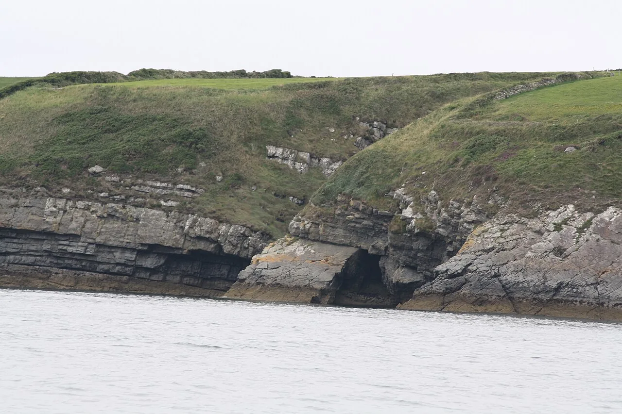
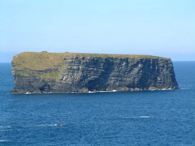
Discover Ireland describes a 5 km cliff walk starting at the Diamond Rocks Café in Kilkee’s West End, with a longer 8 km loop option. Those are different commitments. Read the current local map and signs to understand where your chosen return goes; a shorter out-and-back does not require completing a longer circuit.
Allow for stops and exposed ground
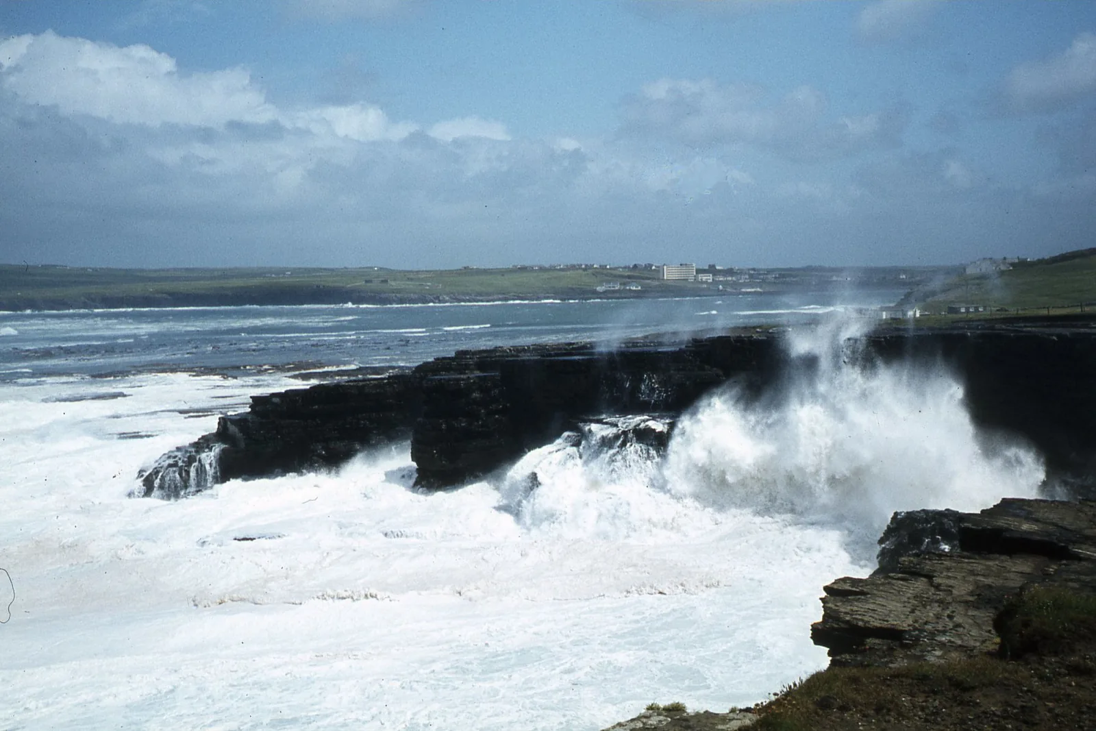
We do not give a guaranteed completion time because pace, stops and route choice vary. Leave a generous daylight margin, use footwear with grip and keep away from cliff edges, blowholes and wave-washed rocks. If conditions become unsuitable, return by your known approved route rather than trying an unfamiliar shortcut.
Fit the walk to a Clare stay
Our suggestion is a dedicated Kilkee outing with time in the town afterwards. Doolin is a north Clare coastal base and Mountshannon is on Lough Derg; neither should be treated as a nearby walking start for Kilkee. Compare the camping bases against your main trip interests and leave realistic travel time rather than trying to cover the whole county in one day.
Fit it into your trip
Use the Clare travel guide to plan your base and the rest of the journey.
- Camping and glamping in Clare — Compare Doolin and Mountshannon before deciding on your base.
Official information
Official information checked 23 October 2026. Check current opening, access and booking notices before travel. Suggested time allowances are planning estimates unless attributed to the operator.
How this guide was prepared
Prepared for Adventure Ireland with AI-assisted desk research using the official sources above. The comparisons and itinerary suggestions are planning recommendations; this guide does not describe a first-hand visit.
Official route information & maps
Start at the West End near Diamond Rocks Café. The published shorter cliff outing and longer loop are different commitments.
- Options
- 5 km outing / 8 km loop
No official downloadable map for the exact route was verified; confirm the chosen circuit locally.
Official sources checked 26 October 2026. Maps remain on their publishers’ websites and retain their usage terms. Follow current notices where older mapping differs.