
AdventureIreland.ie
Beara–Breifne Way
Explore the Beara–Breifne Way from Cork to Cavan, with walking sections, county guides, official maps and practical ideas for a walking break.
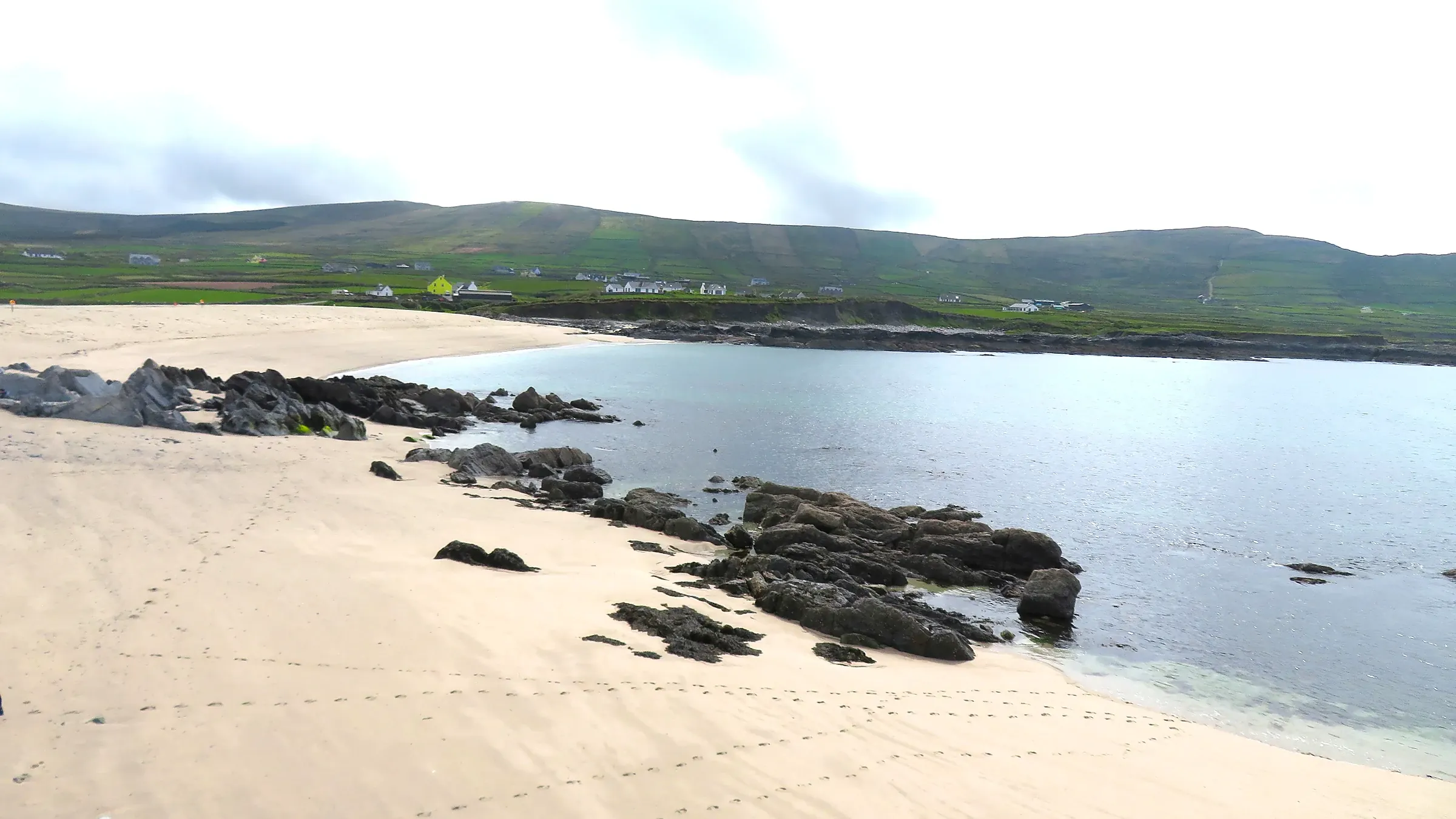
A journey through Ireland’s landscapes and history.
The Beara–Breifne Way connects the Beara Peninsula in County Cork with Blacklion in County Cavan. Its linked walking trails trace the story of Dónal Cam O’Sullivan Beare and his followers’ northward march in 1603. Coastal scenery gives way to inland hills, rural communities, river country and northern lakelands.
You do not need to walk the whole route to enjoy it. Choose a manageable local section, arrange an overnight base and leave room for the villages, heritage and landscapes along the way.
See the route.
Use these three official map thumbnails to explore the trail network. Select a map to open the original at full size.


Map images © Beara–Breifne Way. Official maps page ↗
Find maps for your walking section.
The groups below follow the official maps page. These are selected map links; use the official directory for the full collection.
Section One · Beara & West Cork
- Beara WayAllihies PDF ↗Glengarriff PDF ↗
- Slí Gaeltacht MhúscraíBallingeary PDF ↗Millstreet PDF ↗
- North West Cork WayNewmarket PDF ↗
Section Two · Inland trails
- Ballyhoura WayGalbally PDF ↗
- Multeen WayTipperary Town PDF ↗
- Ormond WayTrail maps ↗
- Hymany WayPortumna PDF ↗
Section Three · Valleys & lakelands
- Suck Valley WayTrail maps ↗
- Lung / Lough Gara WayTrail maps ↗
- Miner’s Way & Historical TrailTrail maps ↗
- Leitrim WayDrumshanbo PDF ↗
- Cavan WayBlacklion PDF ↗Dowra PDF ↗
Some published maps carry 2021 or earlier dates. Confirm local updates, diversions and access before walking; thumbnails are for planning rather than navigation.
Plan a walking break that works.
- Choose the section before the accommodation. Check its distance, ascent, surface and access arrangements against the ability of your group.
- Arrange the return journey. For a point-to-point walk, book a pickup or confirm public transport rather than assuming you can return easily.
- Use current local information. Download the relevant official maps and check diversions, closures and permissions before setting out. This guide is a planning overview, not turn-by-turn navigation.
- Respect the access conditions. Much of the route relies on landowner permission. Follow waymarks, leave gates as found and check local rules, including restrictions on dogs.
- Allow for the weather. Bring suitable footwear, layers, waterproofs, food, water and an offline map. Keep a shorter alternative ready for poor conditions.
Make a weekend of it.
Arrive the evening before your chosen walk and confirm the trailhead and pickup. Keep the next day for one well-planned section, then use your final morning for a village visit or a shorter local loop before travelling home. Add more walking days only when the links between stages and overnight stops are clear.
Explore the counties along the way.
Use our county guides for ideas beyond your walking stage.
Maps & official route information.
The official Beara–Breifne Way maps page is the main source for this guide’s trail sections and map links. The Heritage Council provides the historical background.
Route overview checked 26 October 2026. Confirm local access and trail conditions before walking.